
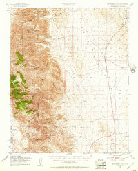
1951 Map of Maturango Peak
USGS Topo · Published 1952About this map
Mining operations dominated the eastern slopes of the Argus Range in the early 1950s, a period when base and precious metal extraction remained central to the economy of this Inyo County region. The map reveals a high concentration of named prospects and workings, including the Defense Mine, Minnietta Mine, and St George Mines, clustered near the precipitous canyons. Transportation through the arid flats of the Panamint Valley is marked by the historic Nadeau Trail and Indian Ranch Road, which skirt the edges of the mountains.
Find a feature on this map
31 named features on this map. Tap any name to fly to it.
Don’t see what you’re looking for? This feature index may not catch every label — zoom into the map to look around manually.
Map Details
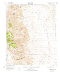
Editions of this 1951 Maturango Peak Map
3 editions found
Other maps of this area

1908 · Ballarat
USGS Topo · 1:250,000

1913 · Ballarat
USGS Topo · 1:250,000

1915 · Searles Lake
USGS Topo · 1:250,000

1947 · Trona
USGS Topo · 1:250,000

1948 · Trona
USGS Topo · 1:250,000

1948 · Death Valley
USGS Topo · 1:250,000

1949 · Trona
USGS Topo · 1:62,500

1950 · Trona
USGS Topo · 1:62,500

1950 · Manly Peak
USGS Topo · 1:62,500

1950 · Darwin
USGS Topo · 1:62,500