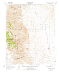
1951 Map of Maturango Peak
USGS Topo · Published 1974About this map
Modoc Mine and the Minnietta Mine anchor the northern slopes of the Argus Range, marking a landscape defined by 19th-century silver and lead extraction. This high-desert terrain is bisected by the Nadeau Trail, a vital freighting route once used to haul ore from these remote camps to the valley floor. The map documents the industrial remains of the era, including the Anthony Mill Ruins and the former location of Millspaugh, providing a clear look at the infrastructure required to support mining in such an arid environment.
Find a feature on this map
37 named features on this map. Tap any name to fly to it.
Don’t see what you’re looking for? This feature index may not catch every label — zoom into the map to look around manually.
Map Details
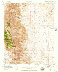
Editions of this 1951 Maturango Peak Map
3 editions found

Other maps of this area

1908 · Ballarat
USGS Topo · 1:250,000

1913 · Ballarat
USGS Topo · 1:250,000

1915 · Searles Lake
USGS Topo · 1:250,000

1947 · Trona
USGS Topo · 1:250,000

1948 · Trona
USGS Topo · 1:250,000

1948 · Death Valley
USGS Topo · 1:250,000

1949 · Trona
USGS Topo · 1:62,500

1950 · Trona
USGS Topo · 1:62,500

1950 · Manly Peak
USGS Topo · 1:62,500

1950 · Darwin
USGS Topo · 1:62,500