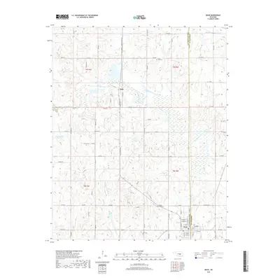
2018 Map of Maud
USGS Topo · Published 2018About this map
The Little River meanders through the heart of this central Oklahoma landscape, defining the topography south of the community of Harjo. This area, split by the boundary of Pottawatomie Co and Seminole Co, is characterized by a dense network of section roads and small watercourses like Wewoka Cr and Brier Cr. The city of Maud anchors the southeastern corner, serving as a hub for the surrounding rural homesteads and agricultural tracts. For those researching local heritage, the map identifies several burial grounds including Union Cemeteries and Dripping Springs Cem. Modern water management is visible through the J E McSpadden Reservoir, which sits amidst a landscape etched by established routes such as Allie Croslin Rd and Tucker Rd.
Find a feature on this map
80 named features on this map. Tap any name to fly to it.
Don’t see what you’re looking for? This feature index may not catch every label — zoom into the map to look around manually.
Map Details
Editions of this 2018 Maud Map
This is the sole edition of this map. No revisions or reprints were ever made.
Other maps of this area

1896 · Seminole and Prague
USGS Topo · 1:125,000

1907 · Maud
USGS Topo · 1:62,500

1908 · Maud
USGS Topo · 1:62,500

1909 · Shawnee
USGS Topo · 1:62,500

1954 · Oklahoma City
USGS Topo · 1:250,000

1957 · Oklahoma City
USGS Topo · 1:250,000
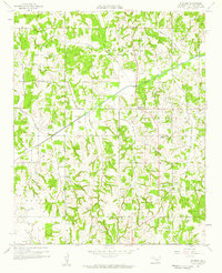
1958 · Pearson
USGS Topo · 1:24,000

1963 · Oklahoma City
USGS Topo · 1:250,000

1967 · Prague SW
USGS Topo · 1:24,000
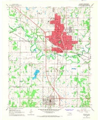
1967 · Shawnee
USGS Topo · 1:24,000