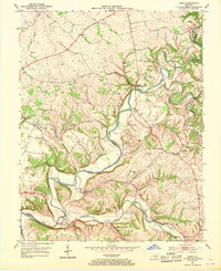
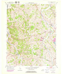
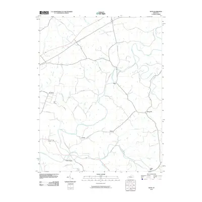
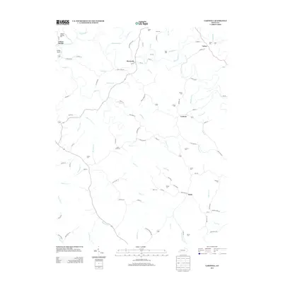
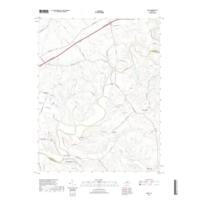
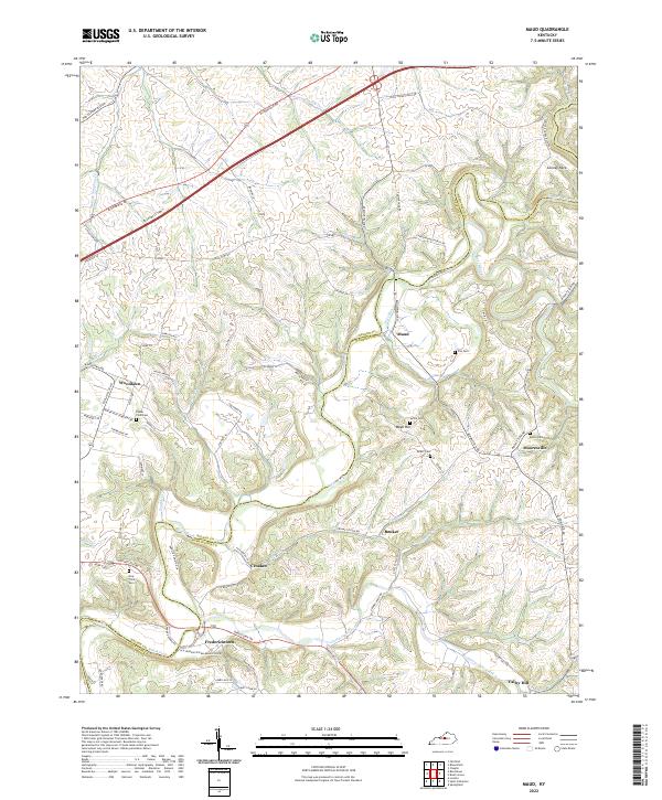
1953 Map of Maud
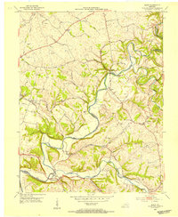
USGS Topo · Published 1969About this map
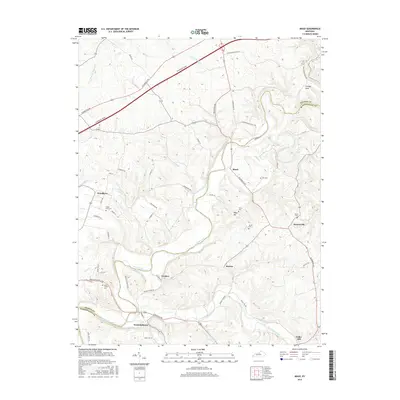
Beech Fork and the Chaplin River wind through this central Kentucky landscape, carving deep loops like the one surrounding Cooney Neck. The area's settlement pattern follows these watercourses and the ridgeline roads, with small communities like Maud, Mooresville, and Fredericktown serving as local hubs in the early 1950s. The presence of the Maud Consolidated Sch and several country churches, including Walkers Chapel and New Hope Ch, highlights the rural social infrastructure of the era.
Find a feature on this map
43 named features on this map. Tap any name to fly to it.
Don’t see what you’re looking for? This feature index may not catch every label — zoom into the map to look around manually.
Map Details
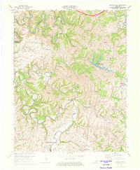
Editions of this 1953 Maud Map
2 editions found
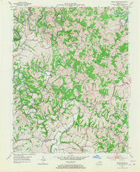
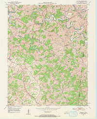
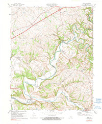
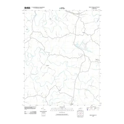
Historical Maps of Maud Through Time
26 maps found
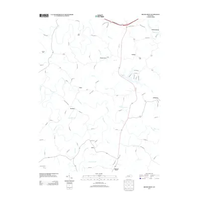
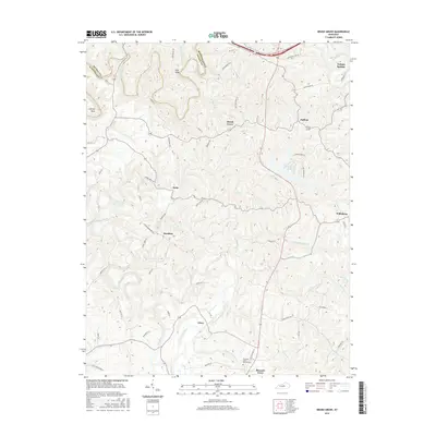
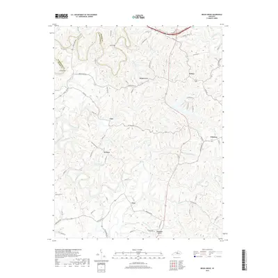
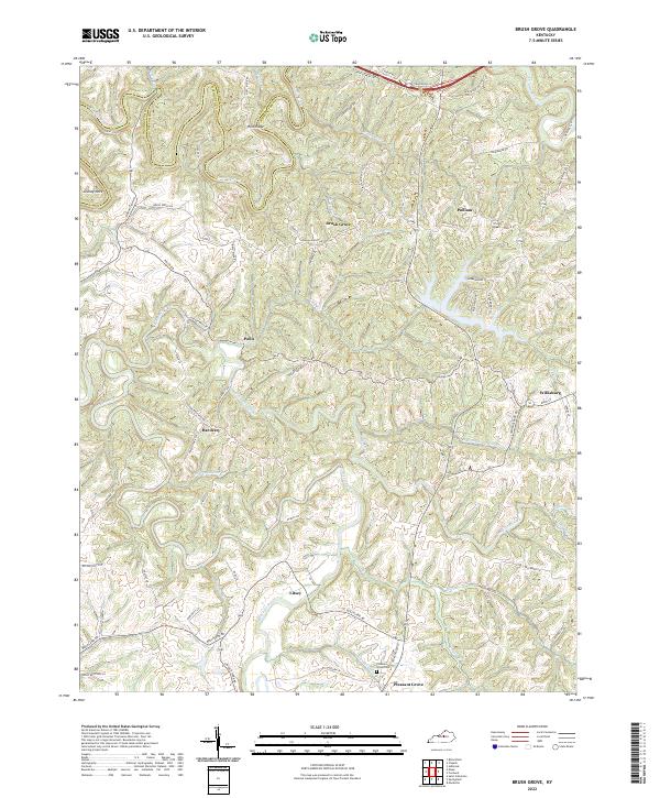
1953 Brush Grove
Washington County, KY
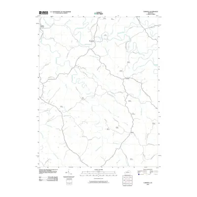
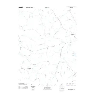
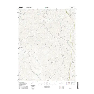
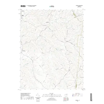
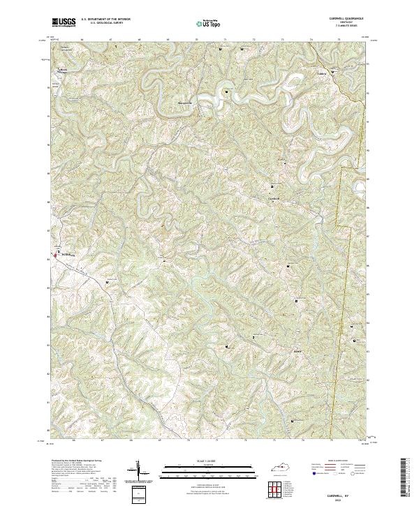
1953 Cardwell
Washington County, KY
1953 Maud
Washington County, KY
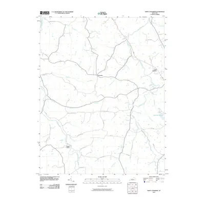
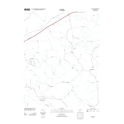
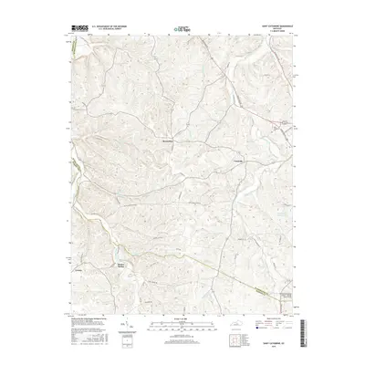
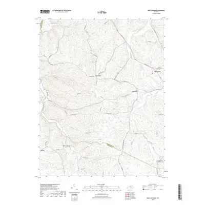
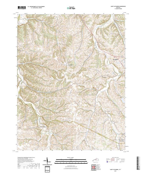
1953 Saint Catharine
Washington County, KY
1972 Brush Grove
Washington County, KY
1972 Maud
Washington County, KY
2010 Brush Grove
Washington County, KY
2010 Cardwell
Washington County, KY
2010 Maud
Washington County, KY
2010 Saint Catharine
Washington County, KY
2013 Brush Grove
Washington County, KY
2013 Cardwell
Washington County, KY
2013 Maud
Washington County, KY
2013 Saint Catharine
Washington County, KY
2016 Brush Grove
Washington County, KY
2016 Cardwell
Washington County, KY
2016 Maud
Washington County, KY
2016 Saint Catharine
Washington County, KY
2019 Brush Grove
Washington County, KY
2019 Cardwell
Washington County, KY
2019 Maud
Washington County, KY
2019 Saint Catharine
Washington County, KY
2022 Brush Grove
Washington County, KY
2022 Cardwell
Washington County, KY
2022 Maud
Washington County, KY
2022 Saint Catharine
Washington County, KY