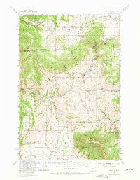
1949 Map of Maudlow
USGS Topo · Published 1971About this map
Maudlow sits at the junction of several mountain drainages where the Chicago Milwaukee St Paul and Pacific railroad traces the winding course of Sixteenmile Creek. This 1949 field survey documents a landscape defined by cattle ranching and early mountain schools, located where the Belt Mountains and Bridge Range converge. Isolated ranching outposts like Koenig Ranch, Mitchell Ranch, and Hatfield Ranch are connected by narrow mountain lanes and gulches, reflecting the high-country agriculture of the mid-20th century.
Find a feature on this map
56 named features on this map. Tap any name to fly to it.
Don’t see what you’re looking for? This feature index may not catch every label — zoom into the map to look around manually.
Map Details
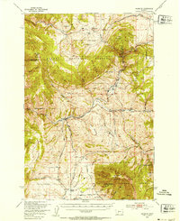
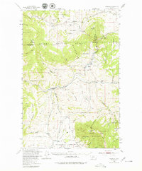
Editions of this 1949 Maudlow Map
4 editions found

Other maps of this area

1886 · Fort Logan
USGS Topo · 1:250,000

1886 · Little Belt Mts.
USGS Topo · 1:250,000

1888 · Three Forks
USGS Topo · 1:250,000

1891 · Livingston
USGS Topo · 1:250,000

1893 · Livingston
USGS Topo · 1:250,000

1894 · Three Forks
USGS Topo · 1:250,000

1894 · Little Belt Mts.
USGS Topo · 1:250,000

1895 · Three Forks
USGS Topo · 1:250,000

1897 · Little Belt Mts.
USGS Topo · 1:250,000

1898 · Little Belt Mts.
USGS Topo · 1:250,000