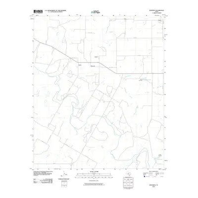
2010 Map of Maverick
USGS Topo · Published 2010About this map
Maverick and Norton anchor this portion of Runnels County, where the landscape is defined by the winding course of the Colorado River and its numerous tributaries. The rural character of the region is evident in the network of county roads and private lanes that connect family landmarks and local burial grounds, such as Maverick Cemetery, Castleberry Cemetery, and Norton Cemetery. Water management is a central feature of the local geography, visible in the Moore Lake Dam and the resulting Moore Lake, alongside other bodies of water like Lloyd Lake.
Find a feature on this map
36 named features on this map. Tap any name to fly to it.
Don’t see what you’re looking for? This feature index may not catch every label — zoom into the map to look around manually.
Map Details
Editions of this 2010 Maverick Map
This is the sole edition of this map. No revisions or reprints were ever made.
Other maps of this area

1891 · Hayrick
USGS Topo · 1:125,000

1894 · Hayrick
USGS Topo · 1:125,000

1921 · Bronte
USGS Topo · 1:31,680

1921 · Baker Flat
USGS Topo · 1:31,680

1921 · Maverick
USGS Topo · 1:31,680

1921 · Quarry Creek
USGS Topo · 1:31,680

1921 · Rowena
USGS Topo · 1:31,680

1921 · Mays School
USGS Topo · 1:31,680

1954 · San Angelo
USGS Topo · 1:250,000

1957 · Miles
USGS Topo · 1:62,500