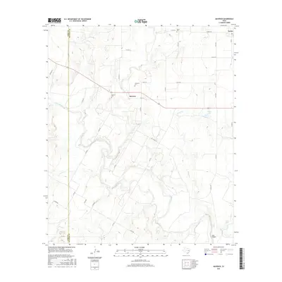
2016 Map of Maverick
USGS Topo · Published 2016About this map
The Colorado River carves a deep, winding path through this West Texas landscape, marking the boundary between Runnels and Coke counties. This rural expanse is defined by its small settlements and a network of county roads that connect remote homesteads and ranch lands. The community of Maverick sits centrally, supported by nearby landmarks like the Maverick Cem and Castleberry Cem, which offer significant value for genealogists tracing family histories in the region. To the northeast, the settlement of Norton stands near the Norton Cem, while the southern terrain transitions into the distinct topography of Bull Hollow. Drainage patterns across the quadrangle are well-documented, with named waterways such as Oak Creek, Mesquite Creek, and Hog Creek feeding into the main river channel, alongside smaller bodies like Moore Lake and Lloyd Lake.
Find a feature on this map
41 named features on this map. Tap any name to fly to it.
Don’t see what you’re looking for? This feature index may not catch every label — zoom into the map to look around manually.
Map Details
Editions of this 2016 Maverick Map
This is the sole edition of this map. No revisions or reprints were ever made.
Other maps of this area

1891 · Hayrick
USGS Topo · 1:125,000

1894 · Hayrick
USGS Topo · 1:125,000

1921 · Bronte
USGS Topo · 1:31,680

1921 · Baker Flat
USGS Topo · 1:31,680

1921 · Maverick
USGS Topo · 1:31,680

1921 · Quarry Creek
USGS Topo · 1:31,680

1921 · Rowena
USGS Topo · 1:31,680

1921 · Mays School
USGS Topo · 1:31,680

1954 · San Angelo
USGS Topo · 1:250,000

1957 · Miles
USGS Topo · 1:62,500