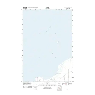
2011 Map of Mawikwe Bay
USGS Topo · Published 2011About this map
Lake Superior dominates the landscape of this coastal survey, where the cold waters meet the northern edge of Bayfield County. The shoreline is defined by the prominent Squaw Point, which separates the open water from more sheltered coastal reaches. Offshore, the isolated Eagle Island sits amidst the Eagle Island Shoals, marking a significant navigational feature for this section of the Great Lakes. Inland, the topography is relatively sparse, carved by the modest path of Saxine Creek as it flows toward the bay. A small network of local roads including Squaw Bay Rd, Olson Rd, and Happy Hollow Rd provides access to this quiet, rural coastline. The arrangement of these roads and the family names like McCutcheon Rd reflect the dispersed residential character of the Bell area during this period.
Find a feature on this map
10 named features on this map. Tap any name to fly to it.
Don’t see what you’re looking for? This feature index may not catch every label — zoom into the map to look around manually.
Map Details
Editions of this 2011 Mawikwe Bay Map
This is the sole edition of this map. No revisions or reprints were ever made.
Other maps of this area

1941 · Bayfield
USGS Topo · 1:48,000

1944 · Cornucopia
USGS Topo · 1:48,000

1946 · Cornucopia
USGS Topo · 1:48,000

1946 · Bayfield
USGS Topo · 1:48,000

1953 · Ashland
USGS Topo · 1:250,000

1954 · Two Harbors
USGS Topo · 1:250,000

1957 · Two Harbors
USGS Topo · 1:250,000

1958 · Ashland
USGS Topo · 1:250,000

1958 · Two Harbors
USGS Topo · 1:250,000

1964 · Two Harbors
USGS Topo · 1:250,000