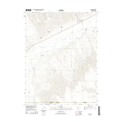
2014 Map of Max
USGS Topo · Published 2014About this map
Max sits along the northern banks of the Republican River in Dundy County, serving as a focal point for this rural corner of Nebraska. The landscape is defined by the river’s winding course and a series of dramatic erosional features to the north and south, including Blackwater Canyon, Hickman Canyon, and Boston Canyon. To the west, Cheyenne Canyon cuts toward the river valley, while the southern terrain is dominated by the deep incisions of Jones Canyon and the headwaters of Jones Canyon Cr.
Find a feature on this map
32 named features on this map. Tap any name to fly to it.
Don’t see what you’re looking for? This feature index may not catch every label — zoom into the map to look around manually.
Map Details
Editions of this 2014 Max Map
This is the sole edition of this map. No revisions or reprints were ever made.
Other maps of this area

1950 · Mc Donald
USGS Topo · 1:62,500

1951 · Bird City North
USGS Topo · 1:62,500

1951 · Mc Donald
USGS Topo · 1:62,500

1954 · McCook
USGS Topo · 1:250,000

1954 · Goodland
USGS Topo · 1:250,000

1956 · Goodland
USGS Topo · 1:250,000

1957 · McCook
USGS Topo · 1:250,000

1957 · Goodland
USGS Topo · 1:250,000

1958 · McCook
USGS Topo · 1:250,000

1961 · Benkelman
USGS Topo · 1:24,000