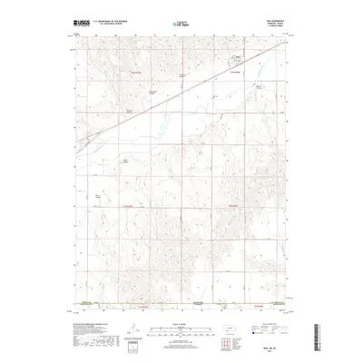
2017 Map of Max
USGS Topo · Published 2017About this map
Max occupies a strategic position along the northern banks of the Republican River in the southwestern corner of Nebraska. The settlement is defined by its simple grid of Main St and Co Rd Dundy St, situated just north of the river's broad valley. To the north and south, the terrain is carved by a series of deep drainage features including Hickman Canyon and Blackwater Canyon, which dictate the placement of the region's section roads and agricultural boundaries.
Find a feature on this map
32 named features on this map. Tap any name to fly to it.
Don’t see what you’re looking for? This feature index may not catch every label — zoom into the map to look around manually.
Map Details
Editions of this 2017 Max Map
This is the sole edition of this map. No revisions or reprints were ever made.
Other maps of this area

1950 · Mc Donald
USGS Topo · 1:62,500

1951 · Bird City North
USGS Topo · 1:62,500

1951 · Mc Donald
USGS Topo · 1:62,500

1954 · McCook
USGS Topo · 1:250,000

1954 · Goodland
USGS Topo · 1:250,000

1956 · Goodland
USGS Topo · 1:250,000

1957 · McCook
USGS Topo · 1:250,000

1957 · Goodland
USGS Topo · 1:250,000

1958 · McCook
USGS Topo · 1:250,000

1961 · Benkelman
USGS Topo · 1:24,000