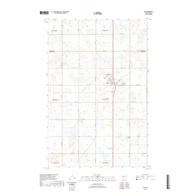
2017 Map of Max
USGS Topo · Published 2017About this map
Max serves as a central hub in this section of the North Dakota prairie, situated at the boundary of Ward and McLean counties. The town site is defined by a grid including Flower St, Main St, and Carvell St, surrounded by several denominational burial grounds that reflect the community's heritage, such as Immaculate Conception Cem and the Evangelical Lutheran (Peace) Cem. The landscape is characterized by numerous small prairie potholes and larger water bodies like Shallow Lake to the southwest. This area illustrates the late-20th-century agricultural layout of the region, where rural life is anchored by family-named landmarks like Semchenko Airport and country churches including the Zion Lutheran Cem located south of the main settlement.
Find a feature on this map
30 named features on this map. Tap any name to fly to it.
Don’t see what you’re looking for? This feature index may not catch every label — zoom into the map to look around manually.
Map Details
Editions of this 2017 Max Map
This is the sole edition of this map. No revisions or reprints were ever made.
Other maps of this area

1922 · Garrison
USGS Topo · 1:62,500

1929 · Coleharbor
USGS Topo · 1:62,500

1929 · Benedict
USGS Topo · 1:62,500

1954 · McClusky
USGS Topo · 1:250,000

1958 · McClusky
USGS Topo · 1:250,000
1974 · Garrison NW
USGS Topo · 1:24,000
1974 · Benedict NW
USGS Topo · 1:24,000
1974 · Benedict SW
USGS Topo · 1:24,000
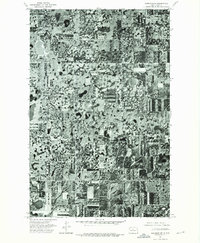
1974 · Garrison NE
USGS Topo · 1:24,000
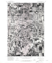
1974 · Coleharbor NW
USGS Topo · 1:24,000