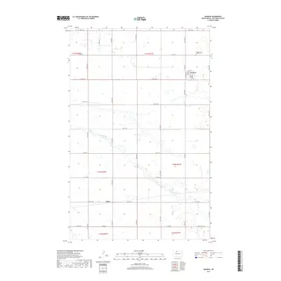
2017 Map of Maxbass
USGS Topo · Published 2017About this map
Maxbass is the primary settlement on this North Dakota landscape, showing a structured grid of streets including Robinson St and Martin St north of the local school and grain elevators. To the north, the Maxbass Cem / Graceland Cem serves as a significant genealogical landmark for the region. The terrain is defined by the winding course of Cut Bank Creek, which meanders across the central sections of the survey. South of the creek, the small settlement of Hurd is positioned along the east-west corridor of 85th St NW. The map reveals a highly developed section-line road network typical of the Great Plains, featuring routes such as Oil Well Rd and various numbered avenues that facilitate movement between isolated farmsteads and the established rail-and-road centers.
Find a feature on this map
35 named features on this map. Tap any name to fly to it.
Don’t see what you’re looking for? This feature index may not catch every label — zoom into the map to look around manually.
Map Details
Editions of this 2017 Maxbass Map
This is the sole edition of this map. No revisions or reprints were ever made.
Other maps of this area

1948 · Lansford
USGS Topo · 1:62,500

1949 · Glenburn
USGS Topo · 1:24,000

1949 · Lansford SE
USGS Topo · 1:24,000

1949 · Lansford NE
USGS Topo · 1:24,000

1949 · Maxbass
USGS Topo · 1:24,000

1949 · Eckman SE
USGS Topo · 1:24,000

1949 · Eckman
USGS Topo · 1:24,000

1949 · Westhope SW
USGS Topo · 1:24,000

1950 · Lansford
USGS Topo · 1:62,500

1950 · Westhope SW
USGS Topo · 1:24,000