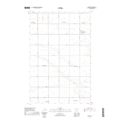
2020 Map of Maxbass
USGS Topo · Published 2020About this map
Maxbass serves as the primary settlement on this North Dakota prairie landscape, situated near the northeastern corner of the sheet. The town is laid out on a grid that includes Robinson St, 5th Ave, and 4th Ave, reflecting the organized agricultural development of Bottineau County. Just to the north, the Maxbass Cem / Graceland Cem provides a point of interest for genealogists tracing local family histories. The surrounding terrain is defined by the winding path of Cut Bank Creek, which meanders southeast across several townships. A dense network of section-line roads, such as 24th Ave NW and 87th ST NW, divides the land into the traditional square-mile blocks of the Public Land Survey System, while Oil Well Rd suggests the presence of regional energy industry activity alongside the dominant farming economy.
Find a feature on this map
32 named features on this map. Tap any name to fly to it.
Don’t see what you’re looking for? This feature index may not catch every label — zoom into the map to look around manually.
Map Details
Editions of this 2020 Maxbass Map
This is the sole edition of this map. No revisions or reprints were ever made.
Other maps of this area

1948 · Lansford
USGS Topo · 1:62,500

1949 · Glenburn
USGS Topo · 1:24,000

1949 · Lansford SE
USGS Topo · 1:24,000

1949 · Lansford NE
USGS Topo · 1:24,000

1949 · Maxbass
USGS Topo · 1:24,000

1949 · Eckman SE
USGS Topo · 1:24,000

1949 · Eckman
USGS Topo · 1:24,000

1949 · Westhope SW
USGS Topo · 1:24,000

1950 · Lansford
USGS Topo · 1:62,500

1950 · Westhope SW
USGS Topo · 1:24,000