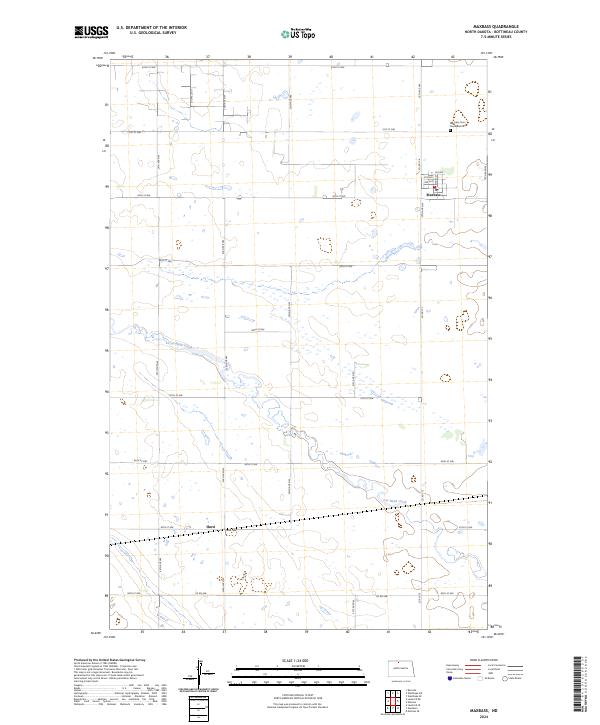
2024 Map of Maxbass
USGS Topo · Published 2024About this map
Maxbass sits in the northern reaches of Bottineau County, a community defined by its grid of local streets like Main St and 3rd Ave. This prairie landscape is characterized by its agricultural layout and numerous wetlands, including the protected grounds of the Bottineau County Waterfowl Production Area. To the south, the settlement of Hurd marks a point along the local road network where 85th St NW and 23rd Ave NW intersect.
Find a feature on this map
34 named features on this map. Tap any name to fly to it.
Don’t see what you’re looking for? This feature index may not catch every label — zoom into the map to look around manually.
Map Details
Editions of this 2024 Maxbass Map
This is the sole edition of this map. No revisions or reprints were ever made.
Other maps of this area

1948 · Lansford
USGS Topo · 1:62,500

1949 · Glenburn
USGS Topo · 1:24,000

1949 · Lansford SE
USGS Topo · 1:24,000

1949 · Lansford NE
USGS Topo · 1:24,000

1949 · Maxbass
USGS Topo · 1:24,000

1949 · Eckman SE
USGS Topo · 1:24,000

1949 · Eckman
USGS Topo · 1:24,000

1949 · Westhope SW
USGS Topo · 1:24,000

1950 · Lansford
USGS Topo · 1:62,500

1950 · Westhope SW
USGS Topo · 1:24,000