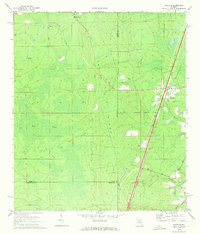
1970 Map of Maxville
USGS Topo · Published 1973About this map
Trail Ridge dominates the topography of this Northeast Florida landscape, acting as a natural divider between the headwaters of several drainages. The Seaboard Coast Line railroad runs nearly parallel to this geologic feature, serving the town of Maxville and the smaller loading points or settlements of LaBuena, Bessent, and Steckert. The map illustrates a complex convergence of county lines, where Baker, Duval, Clay, and Bradford counties meet, alongside the Jacksonville Corporate Boundary. To the west, the terrain transitions into the expansive New River Swamp, punctuated by higher ground such as Buck Island and Big Island. This 1970 survey records a landscape of timber management and rural development, evidenced by the extensive network of firebreaks and a prominent pipeline corridor cutting across the ridge.
Find a feature on this map
22 named features on this map. Tap any name to fly to it.
Don’t see what you’re looking for? This feature index may not catch every label — zoom into the map to look around manually.
Map Details
Editions of this 1970 Maxville Map
2 editions found
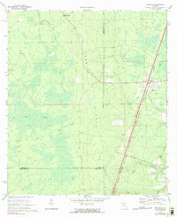
Other maps of this area

1917 · Cambon
USGS Topo · 1:62,500

1917 · Macclenny
USGS Topo · 1:62,500

1918 · Middleburg
USGS Topo · 1:62,500

1918 · Lawtey
USGS Topo · 1:62,500

1918 · Cambon
USGS Topo · 1:62,500

1918 · Macclenny
USGS Topo · 1:62,500

1941 · Middleburg
USGS Topo · 1:62,500

1948 · Jacksonville
USGS Topo · 1:250,000

1949 · Middleburg SW
USGS Topo · 1:24,000

1949 · Fiftone
USGS Topo · 1:24,000