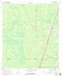
1970 Map of Maxville
USGS Topo · Published 1973About this map
Trail Ridge forms the dominant geomorphological spine of this landscape at the junction of Baker, Duval, Clay, and Bradford counties. The 1970 environment is defined by the heavy presence of the Seaboard Coast Line railroad, which dictates the placement of settlements like Maxville and Hugh on the eastern side of the ridge. To the west, the terrain shifts dramatically into the vast New River Swamp, a complex drainage system featuring Turkey Creek and distinct high-ground areas such as Buck Island and Big Island. Smaller railroad-adjacent locations like La Buena, Bessent, and Steckert appear alongside a network of specialized access routes, including a prominent Pipeline and several Firebreak corridors, illustrating the region's managed timber and utility infrastructure during the late twentieth century.
Find a feature on this map
24 named features on this map. Tap any name to fly to it.
Don’t see what you’re looking for? This feature index may not catch every label — zoom into the map to look around manually.
Map Details
Editions of this 1970 Maxville Map
2 editions found
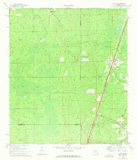
Other maps of this area

1917 · Cambon
USGS Topo · 1:62,500

1917 · Macclenny
USGS Topo · 1:62,500

1918 · Middleburg
USGS Topo · 1:62,500

1918 · Lawtey
USGS Topo · 1:62,500

1918 · Cambon
USGS Topo · 1:62,500

1918 · Macclenny
USGS Topo · 1:62,500

1941 · Middleburg
USGS Topo · 1:62,500

1948 · Jacksonville
USGS Topo · 1:250,000

1949 · Middleburg SW
USGS Topo · 1:24,000

1949 · Fiftone
USGS Topo · 1:24,000