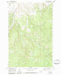
1971 Map of Maxville
USGS Topo · Published 1987About this map
The mining and timber landscape of Granite County comes into sharp focus through this 1971 field-checked survey of Maxville and the surrounding Deerlodge National Forest. Located along the Burlington Northern railroad, Maxville serves as the valley anchor for a network of operations reaching deep into the mountains. The map documents an extensive history of extraction, from the Strip Mines north of Gird Creek to the high-elevation Gold Hill Mine and the Nonpareil Mine tucked into the southern drainages.
Find a feature on this map
34 named features on this map. Tap any name to fly to it.
Don’t see what you’re looking for? This feature index may not catch every label — zoom into the map to look around manually.
Map Details
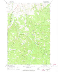
Editions of this 1971 Maxville Map
2 editions found
Other maps of this area

1908 · Philipsburg
USGS Topo · 1:125,000

1919 · Drummond
USGS Topo · 1:125,000

1921 · Drummond
USGS Topo · 1:125,000

1947 · Butte
USGS Topo · 1:250,000

1958 · Butte
USGS Topo · 1:250,000

1958 · Drummond
USGS Topo · 1:62,500

1959 · Bearmouth
USGS Topo · 1:62,500

1960 · Butte
USGS Topo · 1:250,000

1962 · Butte
USGS Topo · 1:250,000

1971 · Henderson Mountain
USGS Topo · 1:24,000