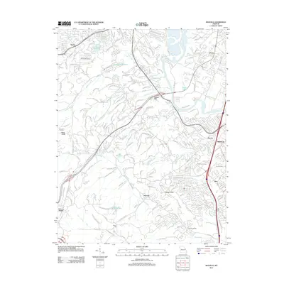
2012 Map of Maxville
USGS Topo · Published 2012About this map
Saline Creek and Romaine Creek carve through the residential development of northern Jefferson County, converging toward the Meramec River near Paulina Hills. This 2012 landscape is characterized by its transition from suburban neighborhoods like Murphy and Arnold into more dispersed settlements such as Seckman and Spring Forest. Several water management sites are visible, including the Fon-Du-Lac Reservoir and Number 216 Reservoir, reflecting the infrastructure needed to support growing communities south of the metropolitan center.
Find a feature on this map
190 named features on this map. Tap any name to fly to it.
Don’t see what you’re looking for? This feature index may not catch every label — zoom into the map to look around manually.
Map Details
Editions of this 2012 Maxville Map
This is the sole edition of this map. No revisions or reprints were ever made.
Other maps of this area

1901 · De Soto
USGS Topo · 1:125,000

1903 · O'Fallon
USGS Topo · 1:125,000

1912 · Kimmswick
USGS Topo · 1:62,500

1916 · Kimmswick
USGS Topo · 1:62,500

1930 · Pacific SE
USGS Topo · 1:24,000

1931 · Manchester SE
USGS Topo · 1:24,000

1931 · Pacific NE
USGS Topo · 1:24,000

1933 · Jefferson Barracks
USGS Topo · 1:24,000

1933 · Kirkwood
USGS Topo · 1:24,000
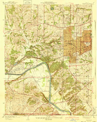
1940 · Kirkwood
USGS Topo · 1:24,000