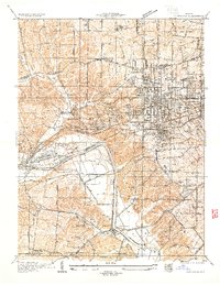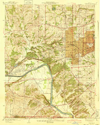
1940 Map of Kirkwood
USGS Topo · Published 1940About this map
The Meramec River winds through the southern portion of this region, providing a natural boundary near the burgeoning suburban landscapes of St. Louis County. At the intersection of the Missouri Pacific Railroad and the St Louis San Francisco Railroad, the town of Kirkwood serves as a significant rail hub, featuring the Kirkwood Sta and nearby City Hall. Educational and religious institutions are particularly prominent, with Hartman College, Ursuline Academy, and the Maryhurst Normal School indicating the area's role as a center for learning and faith. Local genealogy is anchored by sites like Oakhill Cemetery and the St Lucas Cem. The transition from rural to suburban is evident in the presence of various country clubs and schools, such as Larkin Williams Sch and Rott Sch, alongside residential developments like Meacham Park and Glendale.
Find a feature on this map
61 named features on this map. Tap any name to fly to it.
Don’t see what you’re looking for? This feature index may not catch every label — zoom into the map to look around manually.
Map Details
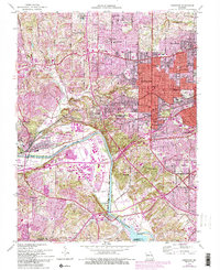
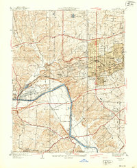
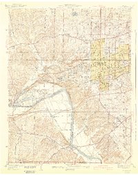
Editions of this 1940 Kirkwood Map
3 editions found
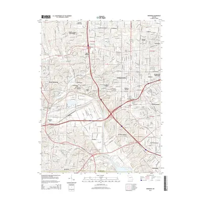
Historical Maps of Kirkwood Through Time
7 maps found