
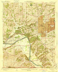
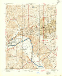
1940 Map of Kirkwood
USGS Topo · Published 1940About this map
The Meramec River and the industrial corridors of the Missouri Pacific and St Louis San Francisco railroads define the transition between early suburban development and rural St. Louis County. This survey shows the established township of Kirkwood as a major educational and social hub, marked by institutional campuses like St Joseph College, Ursuline Academy, and Maryhurst Normal School.
Find a feature on this map
62 named features on this map. Tap any name to fly to it.
Don’t see what you’re looking for? This feature index may not catch every label — zoom into the map to look around manually.
Map Details
Editions of this 1940 Kirkwood Map
3 editions found
Other maps of this area

1901 · De Soto
USGS Topo · 1:125,000

1903 · O'Fallon
USGS Topo · 1:125,000

1912 · Kimmswick
USGS Topo · 1:62,500

1916 · Kimmswick
USGS Topo · 1:62,500

1931 · Manchester SE
USGS Topo · 1:24,000

1931 · Pacific NE
USGS Topo · 1:24,000

1932 · Manchester NE
USGS Topo · 1:24,000

1933 · Creve Coeur
USGS Topo · 1:24,000

1933 · Jefferson Barracks
USGS Topo · 1:24,000

1933 · Clayton
USGS Topo · 1:24,000