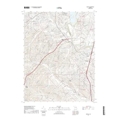
2017 Map of Maxville
USGS Topo · Published 2017About this map
Arnold and its neighboring Jefferson County communities are defined by a complex landscape of creek valleys and ridges south of the Meramec River. This 2017 survey details the suburban expansion around Maxville and Beck, where modern residential developments like Paulina Hills and Spring Forest are interspersed with older landmarks. The rugged topography is etched by numerous waterways, including Romaine Cr and Rock Cr, which feed into local catchments like Butler Lakes and the Lou-Del-Lan Reservoir.
Find a feature on this map
268 named features on this map. Tap any name to fly to it.
Don’t see what you’re looking for? This feature index may not catch every label — zoom into the map to look around manually.
Map Details
Editions of this 2017 Maxville Map
This is the sole edition of this map. No revisions or reprints were ever made.
Other maps of this area

1901 · De Soto
USGS Topo · 1:125,000

1903 · O'Fallon
USGS Topo · 1:125,000

1912 · Kimmswick
USGS Topo · 1:62,500

1916 · Kimmswick
USGS Topo · 1:62,500

1930 · Pacific SE
USGS Topo · 1:24,000

1931 · Manchester SE
USGS Topo · 1:24,000

1931 · Pacific NE
USGS Topo · 1:24,000

1933 · Jefferson Barracks
USGS Topo · 1:24,000

1933 · Kirkwood
USGS Topo · 1:24,000
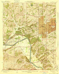
1940 · Kirkwood
USGS Topo · 1:24,000