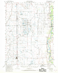
1952 Map of Maxwell
USGS Topo · Published 1970About this map
The Sacramento Valley's agricultural and conservation landscape is deeply legible in this survey, where the Sacramento National Wildlife Refuge dominates the central wetlands between the Southern Pacific railroad and the Sacramento River. The town of Maxwell serves as a primary hub for the region, anchored by its High Sch and Union Church, while smaller rural centers like Logandale, Norman, and Delavan line the rail corridor to the north.
Find a feature on this map
61 named features on this map. Tap any name to fly to it.
Don’t see what you’re looking for? This feature index may not catch every label — zoom into the map to look around manually.
Map Details
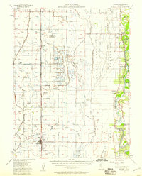
Editions of this 1952 Maxwell Map
2 editions found
Other maps of this area

1888 · Marysville
USGS Topo · 1:125,000

1891 · Chico
USGS Topo · 1:125,000

1891 · Marysville
USGS Topo · 1:125,000

1893 · Chico
USGS Topo · 1:125,000

1894 · Marysville
USGS Topo · 1:125,000

1895 · Marysville
USGS Topo · 1:125,000

1895 · Chico
USGS Topo · 1:125,000

1904 · Logan Creek
USGS Topo · 1:24,000

1904 · Sites
USGS Topo · 1:24,000

1905 · Fairview
USGS Topo · 1:24,000