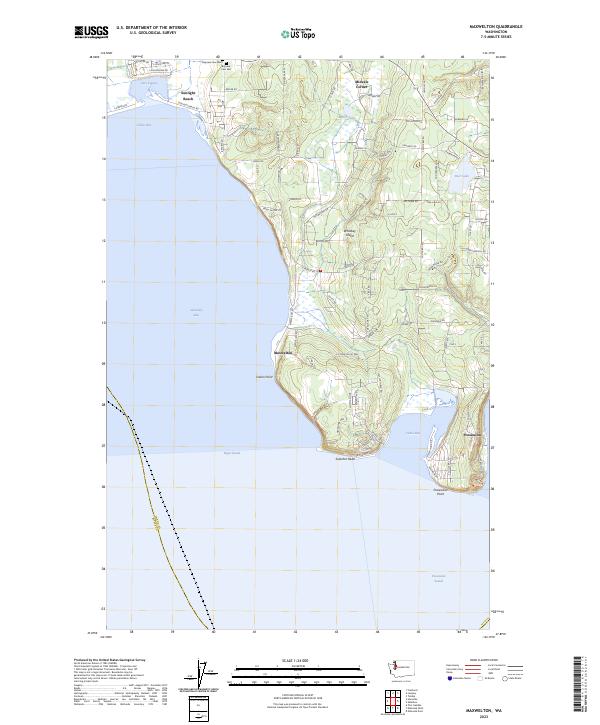
2023 Map of Maxwelton
USGS Topo · Published 2023About this map
Whidbey Island’s southern tip is defined by a complex shoreline where the waters of Admiralty Inlet, Puget Sound, and Possession Sound converge. The landscape is characterized by prominent coastal features like Scatchet Head and Possession Point, which shelter the shallow reaches of Cultus Bay. Inland, the terrain is dotted with small freshwater bodies such as Deer Lake and Miller Lake, while the expansive Deer Lagoon sits adjacent to the residential community at Sunlight Beach.
Find a feature on this map
90 named features on this map. Tap any name to fly to it.
Don’t see what you’re looking for? This feature index may not catch every label — zoom into the map to look around manually.
Map Details
Editions of this 2023 Maxwelton Map
This is the sole edition of this map. No revisions or reprints were ever made.
Historical Maps of Island County Through Time
13 maps found

1943 Deception Pass
Island County, WA
1951 Deception Pass
Island County, WA
1953 Maxwelton
Island County, WA
1956 Juniper Beach
Island County, WA
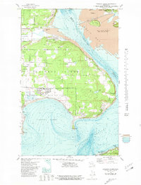
1977 Crescent Harbor
Island County, WA
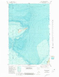
1978 Smith Island
Island County, WA
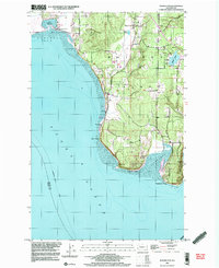
1997 Maxwelton
Island County, WA
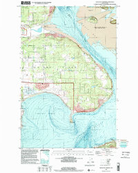
1998 Crescent Harbor
Island County, WA
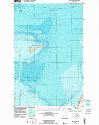
1998 Smith Island
Island County, WA
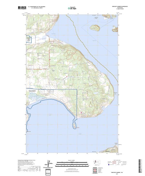
2023 Crescent Harbor
Island County, WA
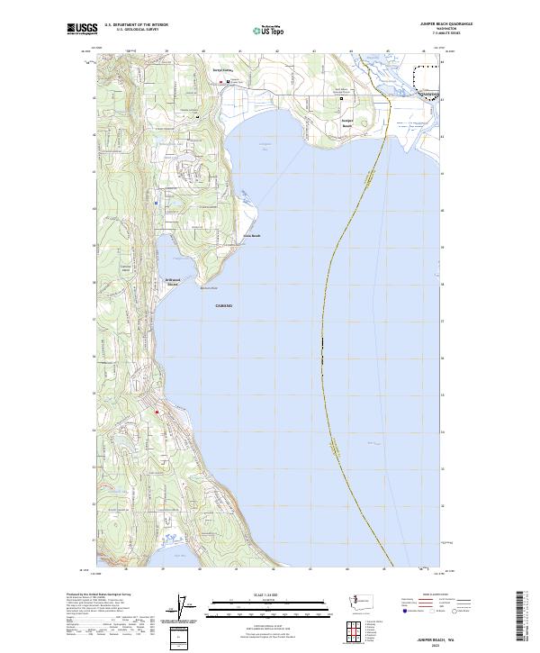
2023 Juniper Beach
Island County, WA
2023 Maxwelton
Island County, WA
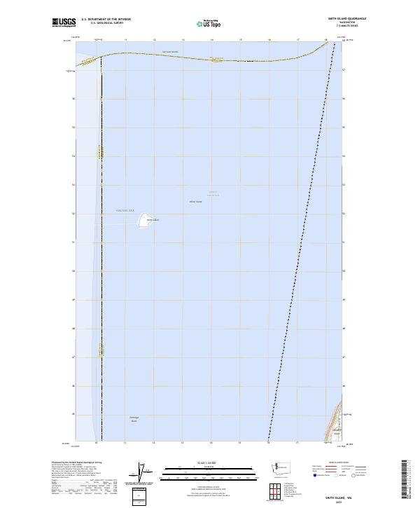
2023 Smith Island
Island County, WA