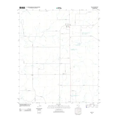
2012 Map of May
USGS Topo · Published 2012About this map
The community of May serves as a central hub in this section of northern Brown County, where the landscape is defined by an extensive network of seasonal creeks and modern water management infrastructure. Numerous water features, such as Hog Cr and Elm Cr, meander through the terrain, supplemented by several Soil Conservation Service reservoirs including Site 31 Reservoir and Site 32 Reservoir. These sites reflect the region's long-standing focus on agricultural stability and watershed protection. To the southwest, the smaller settlement of Holder marks the intersection of local routes near Rough Br. For those researching local heritage or family history, the map includes significant local landmarks like the May Cem and Pleasant Valley Cem, alongside a dense grid of rural roads like FM-2273 and Co RD-407 that connect disparate farmsteads and ranch lands.
Find a feature on this map
47 named features on this map. Tap any name to fly to it.
Don’t see what you’re looking for? This feature index may not catch every label — zoom into the map to look around manually.
Map Details
Editions of this 2012 May Map
This is the sole edition of this map. No revisions or reprints were ever made.
Other maps of this area

1887 · Coleman
USGS Topo · 1:125,000

1889 · Brownwood
USGS Topo · 1:125,000

1889 · Coleman
USGS Topo · 1:125,000

1894 · Eastland
USGS Topo · 1:125,000

1894 · Brownwood
USGS Topo · 1:125,000

1924 · Coleman 1-a
USGS Topo · 1:48,000

1924 · Brownwood Reservoir Site
USGS Topo · 1:48,000

1927 · Grosvenor
USGS Topo · 1:62,500

1931 · Baird
USGS Topo · 1:125,000

1932 · Baird
USGS Topo · 1:125,000