2022 Map of May
USGS Topo · Published 2022About this map
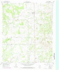
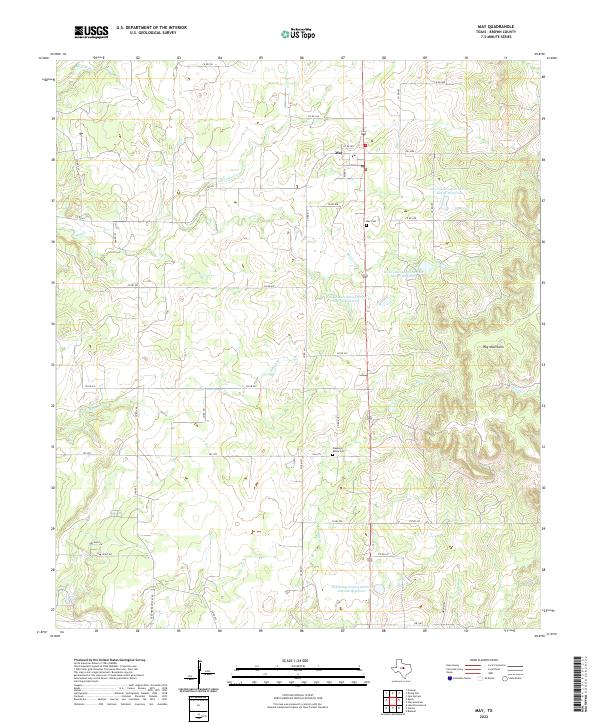
May serves as the central hub of this North Texas landscape, where the intersection of FM 1689 and Highway 183 anchors a rural network of ranch roads and family-named routes. The topography is defined by the Hog Mountains to the east and a series of engineered water management projects, including the Soil Conservation Service Site 33 Reservoir and Soil Conservation Service Site 10a Reservoir. These reservoirs, distributed along drainages like Hog Cr and Elm Cr, reflect mid-century efforts to manage the watershed and support local agriculture.
Find a feature on this map
44 named features on this map. Tap any name to fly to it.
Don’t see what you’re looking for? This feature index may not catch every label — zoom into the map to look around manually.
Map Details
Editions of this 2022 May Map
This is the sole edition of this map. No revisions or reprints were ever made.
Historical Maps of May Through Time
2 maps found