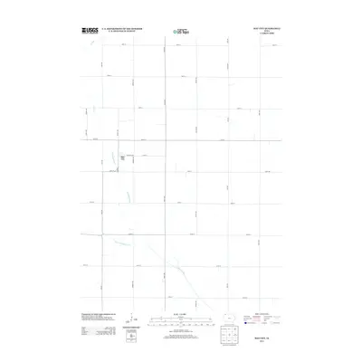
2013 Map of May City
USGS Topo · Published 2013About this map
May City sits within a landscape defined by the drainage of the Ocheyedan River and the Little Ocheyedan River in Osceola County. The settlement pattern follows the rigid grid of the Public Land Survey System, with roads such as White Ave and 230th St carving the prairie into uniform sections. This 2013 survey illustrates the agricultural character of the region, where the winding courses of Dry Run and other waterways provide the only break in the straight-line geography of the farm-to-market road network. Located along Walnut Ave, the small community of May City is connected to the wider county via routes like Co Hwy M20, showing the enduring layout of rural Iowa townships in the early 21st century.
Find a feature on this map
24 named features on this map. Tap any name to fly to it.
Don’t see what you’re looking for? This feature index may not catch every label — zoom into the map to look around manually.
Map Details
Editions of this 2013 May City Map
This is the sole edition of this map. No revisions or reprints were ever made.
Other maps of this area

1954 · Fairmont
USGS Topo · 1:250,000

1958 · Fairmont
USGS Topo · 1:250,000

1964 · Plessis
USGS Topo · 1:24,000

1970 · Everly
USGS Topo · 1:24,000

1970 · Hartley
USGS Topo · 1:24,000

1970 · Lake Park SE
USGS Topo · 1:24,000

1970 · May City
USGS Topo · 1:24,000

1970 · Harris
USGS Topo · 1:24,000
1970 · Lake Park
USGS Topo · 1:24,000

1972 · Ocheyedan
USGS Topo · 1:24,000