
1970 Map of May City
USGS Topo · Published 1972About this map
May City serves as the central settlement in this agricultural section of northwest Iowa, located near the confluence of the Ocheyedan River and the Little Ocheyedan River. The landscape is defined by its drainage patterns, including the engineered Judicial Ditch No 64 and the naturally winding Dry Run. The survey reveals a community organized around township lines, with Harrison Township and Allison Township forming the core of the map's area. Local history and genealogy are anchored by specific landmarks such as the Mennonite Cemetery and Harrison Cemetery, while several Gravel Pits indicate the local industrial extraction of the era. A prominent Pipeline traverses the townships of Excelsior and Westport, cutting a diagonal path across the established section lines and watercourses.
Find a feature on this map
19 named features on this map. Tap any name to fly to it.
Don’t see what you’re looking for? This feature index may not catch every label — zoom into the map to look around manually.
Map Details
Editions of this 1970 May City Map
This is the sole edition of this map. No revisions or reprints were ever made.
Other maps of this area

1954 · Fairmont
USGS Topo · 1:250,000

1958 · Fairmont
USGS Topo · 1:250,000

1964 · Plessis
USGS Topo · 1:24,000

1970 · Everly
USGS Topo · 1:24,000

1970 · Hartley
USGS Topo · 1:24,000

1970 · Lake Park SE
USGS Topo · 1:24,000

1970 · Harris
USGS Topo · 1:24,000
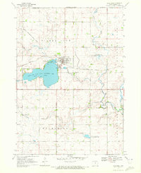
1970 · Lake Park
USGS Topo · 1:24,000

1972 · Ocheyedan
USGS Topo · 1:24,000
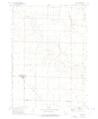
1972 · Melvin
USGS Topo · 1:24,000