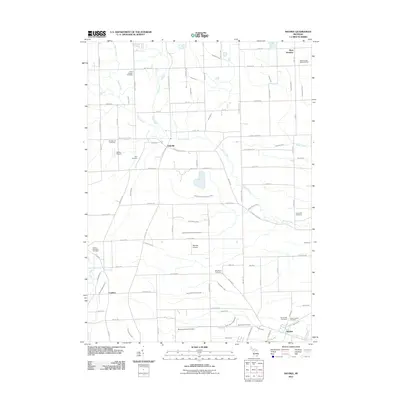
2011 Map of Maybee
USGS Topo · Published 2011About this map
Stony Creek and its complex network of drainage canals, including the Polzin Drain and Amos Palmer Drain, define the low-lying agricultural landscape between Oakville and Maybee. This 2011 survey illustrates a transition from traditional farming to specialized land use, evidenced by the presence of private aviation facilities like Laszlo Airport and Maybee Airport. The settlement of London sits near the Saline River, while the larger village of Maybee anchors the southeastern corner, serving as a hub for local transportation via Karr Rd and several nearby rail-adjacent routes.
Find a feature on this map
94 named features on this map. Tap any name to fly to it.
Don’t see what you’re looking for? This feature index may not catch every label — zoom into the map to look around manually.
Map Details
Editions of this 2011 Maybee Map
This is the sole edition of this map. No revisions or reprints were ever made.
Other maps of this area

1902 · Ypsilanti
USGS Topo · 1:62,500

1904 · Ann Arbor
USGS Topo · 1:125,000

1906 · Ypsilanti
USGS Topo · 1:62,500

1906 · Romulus
USGS Topo · 1:62,500

1908 · Ann Arbor
USGS Topo · 1:125,000

1912 · Monroe
USGS Topo · 1:62,500

1912 · Dundee
USGS Topo · 1:62,500

1914 · Monroe
USGS Topo · 1:62,500

1926 · Dundee
USGS Topo · 1:62,500

1927 · Monroe
USGS Topo · 1:31,680
Featured Places
- Sumpter Township, MI
- Augusta Charter Township, MI
- Exeter Township, MI
- London, London Township
- London Township, MI