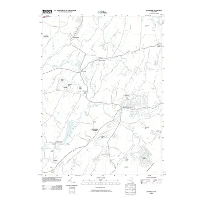
2010 Map of Maybrook
USGS Topo · Published 2010About this map
Moodna Creek and its many tributaries, including Otter Kill, Cromline Creek, and Satterly Creek, define the drainage and development patterns of this portion of Orange County. The landscape is dotted with several distinct hamlets and residential clusters such as Maybrook, Burnside, and Washingtonville, while prominent elevations like Schunemunk Mountain and Round Hill rise above the basin. Local industry and land use are reflected in sites like Roe's Orchards and the Rock Tavern Post Office, alongside recreational areas such as Camp Lenni-Len-A-Pe.
Find a feature on this map
103 named features on this map. Tap any name to fly to it.
Don’t see what you’re looking for? This feature index may not catch every label — zoom into the map to look around manually.
Map Details
Editions of this 2010 Maybrook Map
This is the sole edition of this map. No revisions or reprints were ever made.
Other maps of this area

1902 · Schunemunk
USGS Topo · 1:62,500

1903 · Newburg
USGS Topo · 1:62,500

1904 · Ellenville
USGS Topo · 1:62,500

1906 · Ellenville
USGS Topo · 1:62,500

1906 · Goshen
USGS Topo · 1:62,500

1908 · Goshen
USGS Topo · 1:62,500

1930 · Schunemunk
USGS Topo · 1:48,000

1935 · Schunemunk
USGS Topo · 1:62,500

1938 · Goshen
USGS Topo · 1:62,500

1942 · Goshen
USGS Topo · 1:24,000