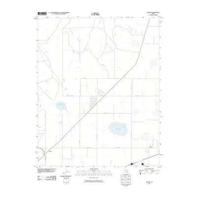
2010 Map of Mayer
USGS Topo · Published 2010About this map
The high plains landscape of Mayer is defined by a grid of rural roads and the drainage patterns of Bonita Creek and Rosita Creek. This 2010 survey shows the area as it transitioned into a more developed peripheral zone north of Amarillo, marked by the intersection of State Loop 335 and major arteries like Airport Rd. Local landmarks including Stalanaker Lake and McGee Lake provide significant geographic markers in a region otherwise characterized by large parcels and agricultural frontage. Genealogists and local historians can pinpoint the location of Saint Francis Cemetery in the southeastern quadrant, near the junction of St Francis Ave and Nebhut Rd. The map also traces various numbered and named routes such as FM 293, FM 245, and N Masterson Rd, which facilitate transport across this section of the Texas Panhandle.
Find a feature on this map
20 named features on this map. Tap any name to fly to it.
Don’t see what you’re looking for? This feature index may not catch every label — zoom into the map to look around manually.
Map Details
Editions of this 2010 Mayer Map
This is the sole edition of this map. No revisions or reprints were ever made.
Other maps of this area

1934 · Cliffside
USGS Topo · 1:62,500

1936 · Cliffside
USGS Topo · 1:62,500

1953 · Chunky
USGS Topo · 1:24,000

1953 · Pleasant Valley
USGS Topo · 1:24,000

1953 · Mayer
USGS Topo · 1:24,000

1953 · Pomeroy
USGS Topo · 1:24,000

1953 · Berry Sand Draw
USGS Topo · 1:24,000

1953 · Sevenmile Basin
USGS Topo · 1:24,000

1954 · Amarillo
USGS Topo · 1:250,000

1956 · Amarillo East
USGS Topo · 1:24,000