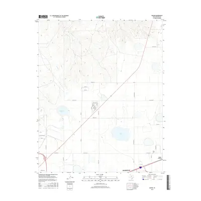
2016 Map of Mayer
USGS Topo · Published 2016About this map
Saint Francis serves as a key landmark in this section of the Texas Panhandle, positioned near the intersection of St Francis Ave and Robinson Rd. The landscape is defined by the drainages of Bonita Cr and Rosita Cr, which carve through the terrain north of the city. Water features such as Stafanaker Lake and McGee Lake provide localized catchment in an area otherwise characterized by its expansive road grid and the diagonal path of Route 136. The southern edge of the map shows the outskirts of Amarillo, where the urban grid begins to meet the open country. Local history is anchored at the Saint Francis Cem, a significant site for genealogists tracking family roots in this rural community. The map reveals the gradual transition from the high plains to more populated suburban and residential clusters like those along Love Ave and Regina Ave.
Find a feature on this map
39 named features on this map. Tap any name to fly to it.
Don’t see what you’re looking for? This feature index may not catch every label — zoom into the map to look around manually.
Map Details
Editions of this 2016 Mayer Map
This is the sole edition of this map. No revisions or reprints were ever made.
Other maps of this area

1934 · Cliffside
USGS Topo · 1:62,500

1936 · Cliffside
USGS Topo · 1:62,500

1953 · Chunky
USGS Topo · 1:24,000

1953 · Pleasant Valley
USGS Topo · 1:24,000

1953 · Mayer
USGS Topo · 1:24,000

1953 · Pomeroy
USGS Topo · 1:24,000

1953 · Berry Sand Draw
USGS Topo · 1:24,000

1953 · Sevenmile Basin
USGS Topo · 1:24,000

1954 · Amarillo
USGS Topo · 1:250,000

1956 · Amarillo East
USGS Topo · 1:24,000