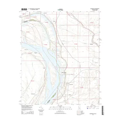
2015 Map of Mayersville
USGS Topo · Published 2015About this map
The Mississippi River forms a dynamic boundary in this survey, defining the state line between Mississippi and Louisiana. The landscape is dominated by the river's serpentine path and the complex hydrology of the Delta, featuring the Old River Chute, Opossum Chute, and Jack Falls Canal. The settlement of Mayersville, the county seat of Issaquena County, is situated on the eastern bank alongside other river-adjacent locales like Millers Landing and Ashland.
Find a feature on this map
50 named features on this map. Tap any name to fly to it.
Don’t see what you’re looking for? This feature index may not catch every label — zoom into the map to look around manually.
Map Details
Editions of this 2015 Mayersville Map
This is the sole edition of this map. No revisions or reprints were ever made.
Other maps of this area
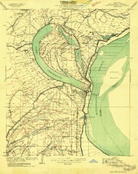
1909 · Lake Providence
USGS Topo · 1:24,000
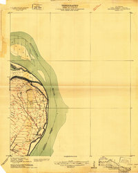
1909 · Wilsons Point
USGS Topo · 1:24,000
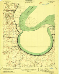
1909 · Millikin
USGS Topo · 1:24,000
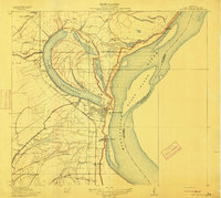
1911 · Lake Providence
USGS Topo · 1:31,680
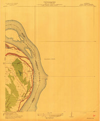
1913 · Wilson Point
USGS Topo · 1:31,680
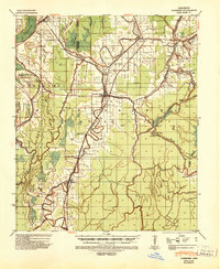
1939 · Lorenzen
USGS Topo · 1:62,500
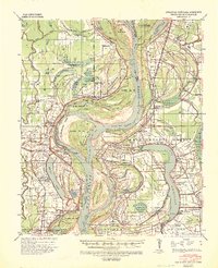
1939 · Readland
USGS Topo · 1:62,500
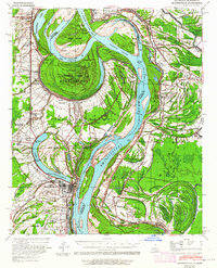
1939 · Mayersville
USGS Topo · 1:62,500
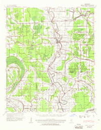
1939 · Swan Lake
USGS Topo · 1:62,500

1953 · Greenwood
USGS Topo · 1:250,000