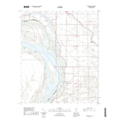
2018 Map of Mayersville
USGS Topo · Published 2018About this map
Mayersville serves as a focal point in this riverine landscape where the Mississippi River defines the boundary between Issaquena County, Mississippi, and East Carroll Parish, Louisiana. The intricate hydrology of the Delta is evident through features like the Old River Chute, Blue Hole, and the complex network of drainage such as Mill Bayou and Washington Bayou. The settlement pattern follows the high ground and levee systems, with smaller locales like Addie, Hopedale, and Cottonwood connected by a grid of plantation and farm-to-market roads.
Find a feature on this map
55 named features on this map. Tap any name to fly to it.
Don’t see what you’re looking for? This feature index may not catch every label — zoom into the map to look around manually.
Map Details
Editions of this 2018 Mayersville Map
This is the sole edition of this map. No revisions or reprints were ever made.
Other maps of this area

1909 · Lake Providence
USGS Topo · 1:24,000

1909 · Wilsons Point
USGS Topo · 1:24,000

1909 · Millikin
USGS Topo · 1:24,000

1911 · Lake Providence
USGS Topo · 1:31,680

1913 · Wilson Point
USGS Topo · 1:31,680

1939 · Lorenzen
USGS Topo · 1:62,500

1939 · Readland
USGS Topo · 1:62,500

1939 · Mayersville
USGS Topo · 1:62,500

1939 · Swan Lake
USGS Topo · 1:62,500

1953 · Greenwood
USGS Topo · 1:250,000