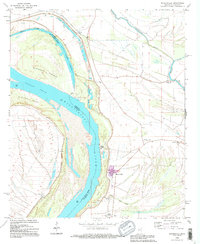
1994 Map of Mayersville
USGS Topo · Published 1995About this map
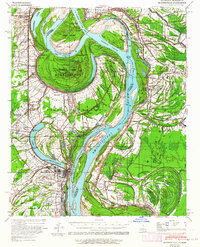
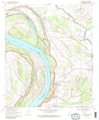
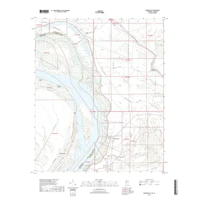
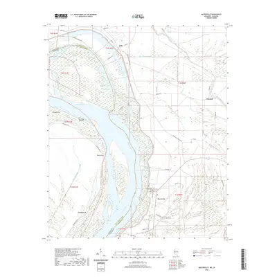
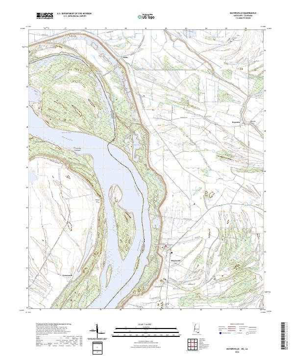
Mayersville sits along the shifting banks of the Mississippi River, serving as a focal point for this section of the delta where the state line follows the water. The landscape is defined by the complex hydrology of the river's historical meanders, including the Old River Chute and Opossum Chute, which bracket landforms like Duncansby Towhead and Wilson Point. These features illustrate how the river has physically reshaped the border between Mississippi and Louisiana over time.
Find a feature on this map
29 named features on this map. Tap any name to fly to it.
Don’t see what you’re looking for? This feature index may not catch every label — zoom into the map to look around manually.
Map Details
Editions of this 1994 Mayersville Map
This is the sole edition of this map. No revisions or reprints were ever made.
Historical Maps of Mayersville Through Time
8 maps found