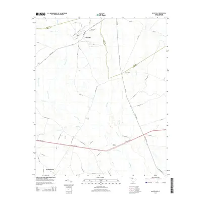
2014 Map of Mayesville
USGS Topo · Published 2014About this map
The town of Mayesville serves as the focal point of this map, positioned near the intersection of the Florence Hwy and Mayes Open Rd. The landscape is defined by the significant hydrological systems of the Scape Ore Swamp and the Black River, which wind through the lowlands of Sumter and Lee Counties. These waterways dictate the local geography, creating natural boundaries and influencing the placement of early crossings and settlements.
Find a feature on this map
58 named features on this map. Tap any name to fly to it.
Don’t see what you’re looking for? This feature index may not catch every label — zoom into the map to look around manually.
Map Details
Editions of this 2014 Mayesville Map
This is the sole edition of this map. No revisions or reprints were ever made.
Other maps of this area

1920 · Mayesville
USGS Topo · 1:48,000

1921 · Mayesville
USGS Topo · 1:62,500

1941 · Spartanburg
USGS Topo · 1:250,000

1943 · Mayesville
USGS Topo · 1:62,500

1946 · Sumter
USGS Topo · 1:62,500

1953 · Spartanburg
USGS Topo · 1:250,000

1954 · Augusta
USGS Topo · 1:250,000

1957 · Sumter East
USGS Topo · 1:24,000

1957 · Ashwood
USGS Topo · 1:62,500

1957 · Sumter
USGS Topo · 1:62,500
Featured Places
- Mayesville, SC
- Scottsville, SC
- Brunsons Store, SC
- Mayesville East Subdivision, Mayesville
- Sumter County, SC