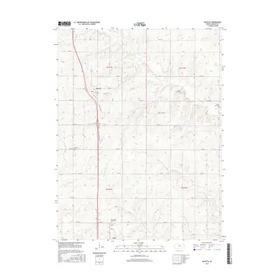
2015 Map of Mayetta
USGS Topo · Published 2015About this map
Mayetta and Hoyt anchor this agricultural landscape in Jackson County, where the topography is defined by the headwaters of the Muddy Creek and Cedar Creek systems. The drainage patterns of W Fork Muddy Cr, E Fork Muddy Cr, and Middle Fork Muddy Cr create a series of north-south ridges that have historically dictated road placement and settlement. Genealogical interest is concentrated in several local burial grounds, including the Saint Joseph's Catholic Cem and the Mayetta Cem. The transportation corridor follows a traditional route along Rock Island Rd, reflecting the historical influence of the railroad on the development of these small Kansas towns. The map also captures several smaller landmarks like Cedar Grove Cem and South Cedar Cem, providing a detailed look at the rural cemetery locations that serve as vital records for local family history.
Find a feature on this map
43 named features on this map. Tap any name to fly to it.
Don’t see what you’re looking for? This feature index may not catch every label — zoom into the map to look around manually.
Map Details
Editions of this 2015 Mayetta Map
This is the sole edition of this map. No revisions or reprints were ever made.
Other maps of this area

1889 · Topeka
USGS Topo · 1:125,000

1894 · Topeka
USGS Topo · 1:125,000

1950 · Kansas City
USGS Topo · 1:250,000

1952 · Elmont
USGS Topo · 1:24,000

1952 · Grove
USGS Topo · 1:24,000
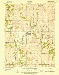
1952 · Meriden
USGS Topo · 1:24,000

1954 · Kansas City
USGS Topo · 1:250,000

1956 · Kansas City
USGS Topo · 1:250,000

1960 · Kansas City
USGS Topo · 1:250,000
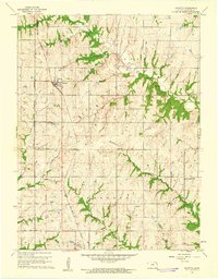
1960 · Mayetta
USGS Topo · 1:24,000