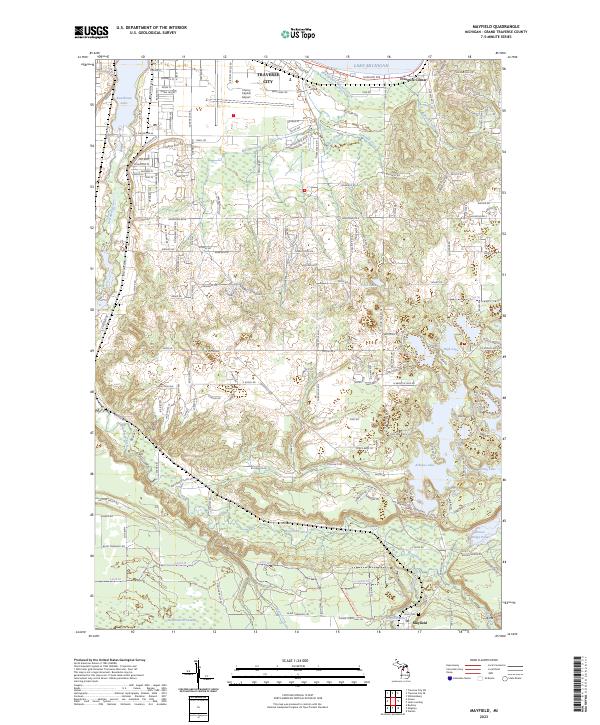
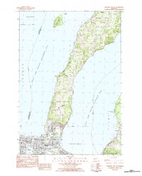
2023 Map of Mayfield
USGS Topo · Published 2023About this map
The Boardman River valley carves a central path through this portion of Grand Traverse County, connecting the rural southern landscapes to the expanding edges of Traverse City in the north. The southern reaches are defined by a complex network of glacial kettle lakes and wetlands, including the extensive Weidenhamer Swamp and the popular recreational shores of Arbutus Lake. The settlement of Mayfield sits near the southern edge, while the northern sector is dominated by the industrial and transport infrastructure surrounding Cherry Capital Airport and the southern tip of Boardman Lake.
Find a feature on this map
119 named features on this map. Tap any name to fly to it.
Don’t see what you’re looking for? This feature index may not catch every label — zoom into the map to look around manually.
Map Details
Editions of this 2023 Mayfield Map
This is the sole edition of this map. No revisions or reprints were ever made.
Historical Maps of East Bay Charter Township Through Time
16 maps found
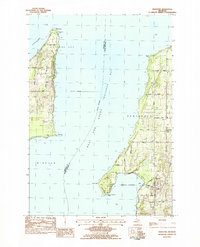
1976 Thompsonville NE
Grand Traverse County, MI
1976 Thompsonville SE
Grand Traverse County, MI
1983 Karlin
Grand Traverse County, MI
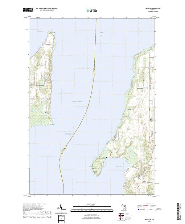
1983 Mapleton
Grand Traverse County, MI
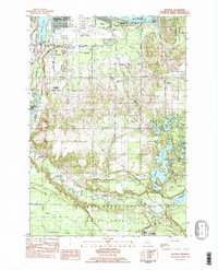
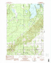
1983 Mayfield
Grand Traverse County, MI
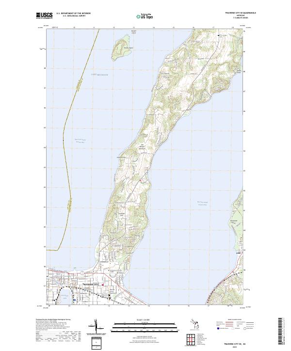
1983 Traverse City SE
Grand Traverse County, MI
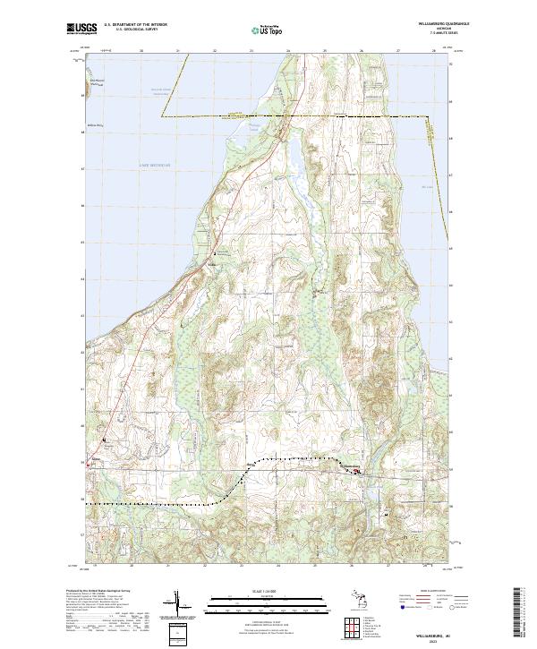
1983 Williamsburg
Grand Traverse County, MI
1985 Jacks Landing
Grand Traverse County, MI
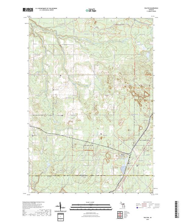
1985 Walton
Grand Traverse County, MI
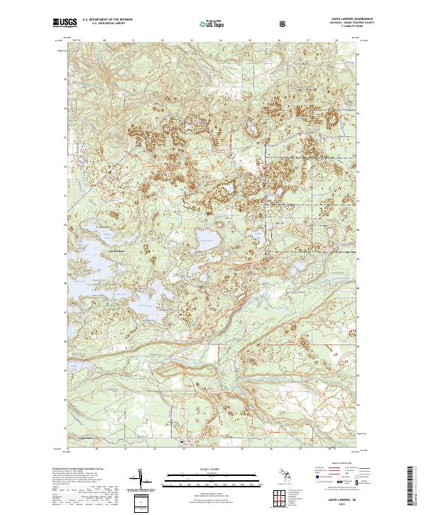
2023 Jacks Landing
Grand Traverse County, MI
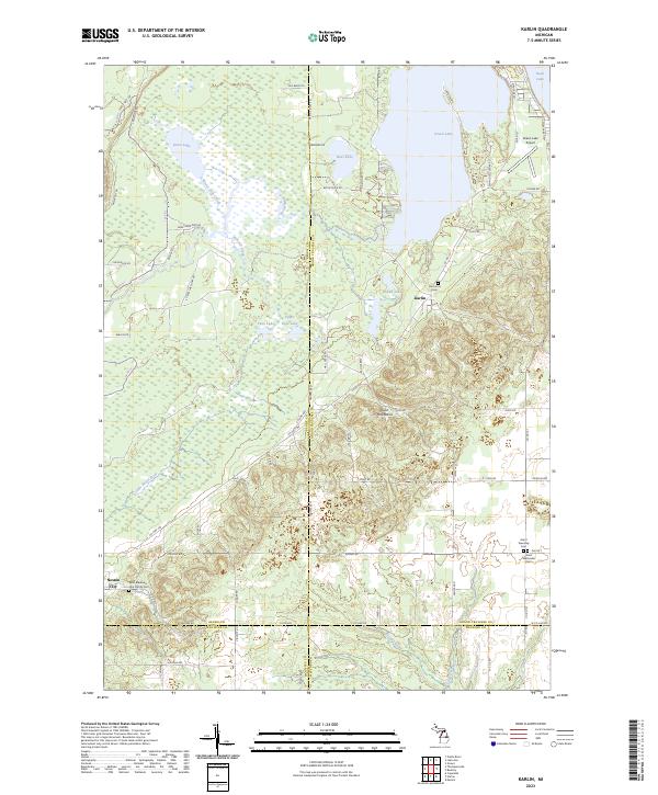
2023 Karlin
Grand Traverse County, MI
2023 Mapleton
Grand Traverse County, MI
2023 Mayfield
Grand Traverse County, MI
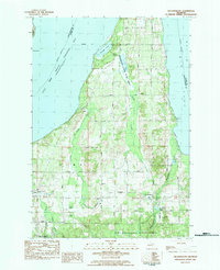
2023 Traverse City SE
Grand Traverse County, MI
2023 Walton
Grand Traverse County, MI
2023 Williamsburg
Grand Traverse County, MI
Featured Locations
- Blair Township, MI
- East Bay Township, MI
- Garfield Township, MI
- Traverse City, MI
- East Bay Charter Township, East Bay Township