Loading...
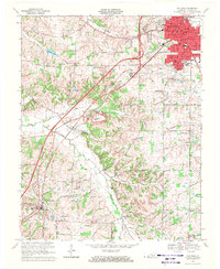
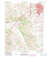
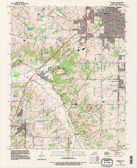
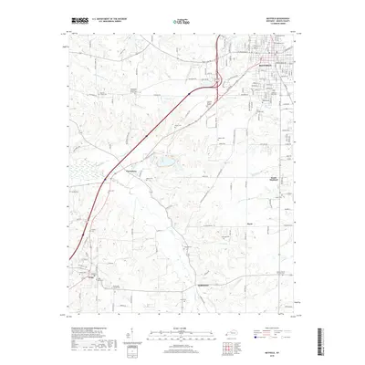
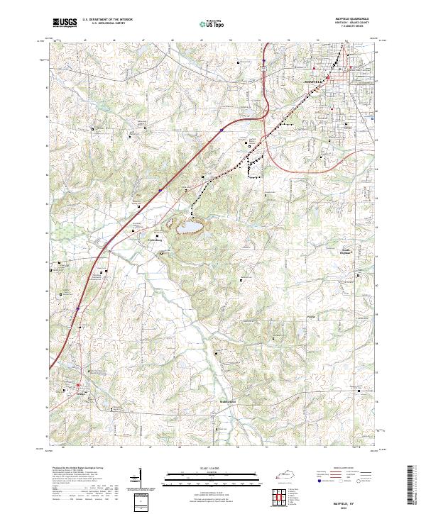
Loading map...1969 Map of Mayfield
USGS Topo · Published 1971About this map
Mayfield dominates the northeastern corner of this Graves County landscape, serving as a hub where the Illinois Central railroad and the Purchase Parkway intersect. The city center is dense with civic infrastructure, including the Courthouse, City Hall, and Hosp, alongside local educational institutions like Lee Sch and Longfellow Sch. Beyond the urban core, the terrain transitions into a mosaic of small family farms and rural homesteads, often oriented around named roads such as Poorhouse Road and Stubblefield Road.
Find a feature on this map
68 named features on this map. Tap any name to fly to it.
Don’t see what you’re looking for? This feature index may not catch every label — zoom into the map to look around manually.
Map Details
Date Portrayed1969
Date Published1971
PublisherU.S. Geological Survey
Map TypeTopographic
Scale1:24,000
Physical Dimensions22.5 x 27.4 inches
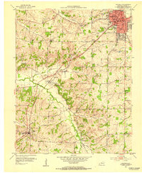
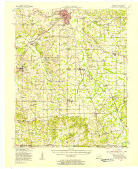
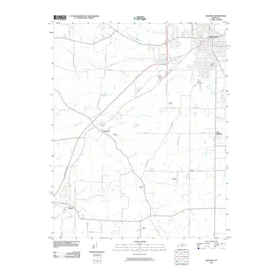
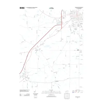
Editions of this 1969 Mayfield Map
2 editions found
Historical Maps of Mayfield Through Time
9 maps found
Featured Locations
Source Details
SourceU.S. Geological Survey
CopyrightPublic Domain