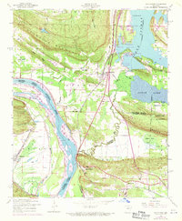
1953 Map of Mayflower
USGS Topo · Published 1971About this map
Lake Conway and the Arkansas River dominate this landscape along the border of Faulkner and Pulaski counties during the mid-20th century. The settlement of Mayflower sits at a strategic junction of rail and road, served by the Missouri Pacific railroad. To the south, the sprawling National Guard Training Area (Former Camp J T Robinson) occupies a large portion of the terrain east of Clifton Mountain.
Find a feature on this map
47 named features on this map. Tap any name to fly to it.
Don’t see what you’re looking for? This feature index may not catch every label — zoom into the map to look around manually.
Map Details
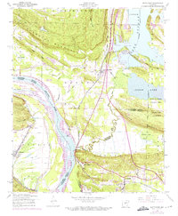
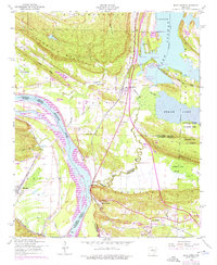
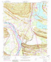
Editions of this 1953 Mayflower Map
5 editions found
Other maps of this area

1890 · Benton
USGS Topo · 1:125,000

1891 · Little Rock
USGS Topo · 1:125,000

1892 · Morrillton
USGS Topo · 1:125,000

1893 · Little Rock
USGS Topo · 1:125,000

1894 · Morrillton
USGS Topo · 1:125,000

1894 · Benton
USGS Topo · 1:125,000

1935 · North Little Rock
USGS Topo · 1:24,000

1943 · Pinnacle Mtn
USGS Topo · 1:31,680

1953 · Cato
USGS Topo · 1:24,000

1953 · Mayflower
USGS Topo · 1:24,000