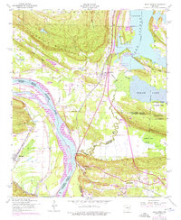
1953 Map of Mayflower
USGS Topo · Published 1976About this map
Lake Conway and the winding Arkansas River dominate this landscape on the boundary of Faulkner and Pulaski counties. The settlement of Mayflower serves as a central hub, situated along the Missouri Pacific railroad line and a network of landings such as Jacks Landing, Pooles Landing, and Edwards Landing that dot the lakeshore. These landings, along with the Fletcher Bend Public Use Area, highlight the water-based economy and recreation of the mid-20th century.
Find a feature on this map
48 named features on this map. Tap any name to fly to it.
Don’t see what you’re looking for? This feature index may not catch every label — zoom into the map to look around manually.
Map Details
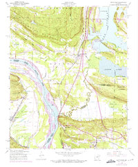
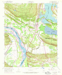
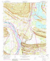
Editions of this 1953 Mayflower Map
5 editions found
Other maps of this area

1890 · Benton
USGS Topo · 1:125,000

1891 · Little Rock
USGS Topo · 1:125,000

1892 · Morrillton
USGS Topo · 1:125,000

1893 · Little Rock
USGS Topo · 1:125,000

1894 · Morrillton
USGS Topo · 1:125,000

1894 · Benton
USGS Topo · 1:125,000

1935 · North Little Rock
USGS Topo · 1:24,000

1943 · Pinnacle Mtn
USGS Topo · 1:31,680

1953 · Cato
USGS Topo · 1:24,000

1953 · Mayflower
USGS Topo · 1:24,000