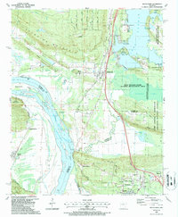
1987 Map of Mayflower
USGS Topo · Published 1987About this map
The Arkansas River and Lake Conway define the landscape of this 1987 survey, which captures the development of the corridor between Mayflower and the northern outskirts of the Little Rock metro area. The map illustrates a complex network of wetlands and conservation areas, including the Bell Slough State Wildlife Management Area and Grassy Lake, bordered by the prominent rising terrain of Reynolds Mountain and Clifton Mountain.
Find a feature on this map
67 named features on this map. Tap any name to fly to it.
Don’t see what you’re looking for? This feature index may not catch every label — zoom into the map to look around manually.
Map Details
Editions of this 1987 Mayflower Map
2 editions found
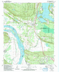
Other maps of this area
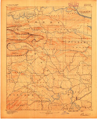
1890 · Benton
USGS Topo · 1:125,000

1891 · Little Rock
USGS Topo · 1:125,000
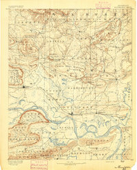
1892 · Morrillton
USGS Topo · 1:125,000

1893 · Little Rock
USGS Topo · 1:125,000
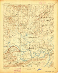
1894 · Morrillton
USGS Topo · 1:125,000
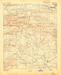
1894 · Benton
USGS Topo · 1:125,000
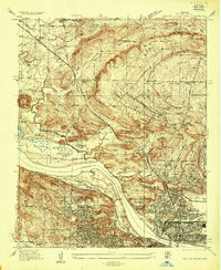
1935 · North Little Rock
USGS Topo · 1:24,000
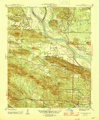
1943 · Pinnacle Mtn
USGS Topo · 1:31,680
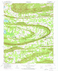
1953 · Cato
USGS Topo · 1:24,000
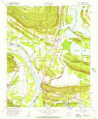
1953 · Mayflower
USGS Topo · 1:24,000