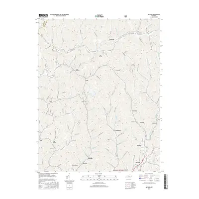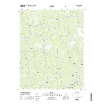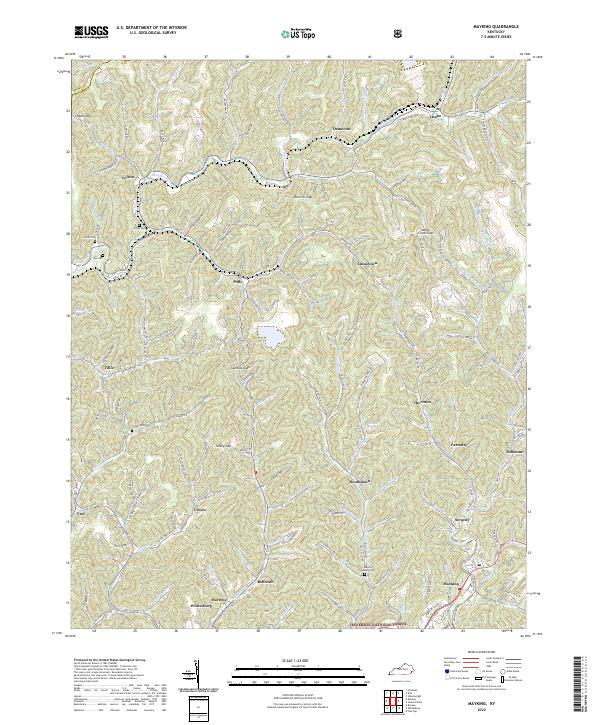
2022 Map of Mayking
USGS Topo · Published 2022About this map
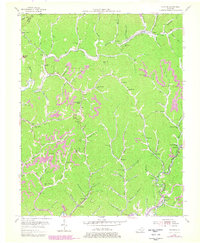
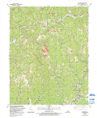
The rugged topography of the Cumberland Plateau defines the landscape of the Letcher and Knott County line, where steep ridges are punctuated by crucial passes like Logan Gap and Hall Hill Gap. The narrow valleys of Rockhouse Cr and its tributaries support a dense network of small mountain communities including Colson, Thornton, and Mayking. In the southern reaches of the map, the city of Whitesburg sits along the Sandlick Cr, serving as a focal point for the region's commerce and transportation. The map reveals the intricate human footprint in these hollers, from family burial grounds like the Melvin Adams Cem and Ison Cem to the industrial legacy of the Consol Tipple Rd near Deane. A small portion of the Jefferson National Forest touches the southeastern corner, marking the edge of protected timberlands amidst the active residential and mining corridors.
Find a feature on this map
152 named features on this map. Tap any name to fly to it.
Don’t see what you’re looking for? This feature index may not catch every label — zoom into the map to look around manually.
Map Details
Editions of this 2022 Mayking Map
This is the sole edition of this map. No revisions or reprints were ever made.
Historical Maps of Whitesburg Through Time
7 maps found