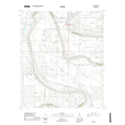
2018 Map of Mayna
USGS Topo · Published 2018About this map
Black River meanders through the heart of this landscape, defining the boundaries between Catahoula Parish and Concordia Parish. The terrain is dominated by an intricate network of waterways including Cynthia Bayou, Scott Bayou, and Powder Horn Bayou, which feed into numerous oxbows and brakes like Alton Brake and Fisher Brake. Small agricultural settlements like Mayna, Eva, and Serena anchor the local community, which is connected by a system of levees such as Levee Rd and Diversion Canal Levee Rd.
Find a feature on this map
90 named features on this map. Tap any name to fly to it.
Don’t see what you’re looking for? This feature index may not catch every label — zoom into the map to look around manually.
Map Details
Editions of this 2018 Mayna Map
This is the sole edition of this map. No revisions or reprints were ever made.
Other maps of this area

1935 · Tooleys
USGS Topo · 1:62,500

1939 · Red Gum
USGS Topo · 1:62,500

1939 · Deer Park
USGS Topo · 1:62,500

1941 · Manifest
USGS Topo · 1:62,500

1941 · Tooleys
USGS Topo · 1:62,500

1953 · Natchez
USGS Topo · 1:250,000

1956 · Natchez
USGS Topo · 1:250,000

1959 · Natchez
USGS Topo · 1:250,000

1960 · Jonesville
USGS Topo · 1:62,500
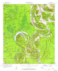
1960 · Eva
USGS Topo · 1:62,500