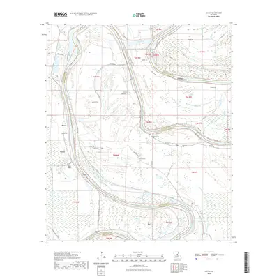
2020 Map of Mayna
USGS Topo · Published 2020About this map
The Black River winds through the heart of this landscape along the border of Concordia and Catahoula Parishes, shaping a complex network of bayous, sloughs, and oxbow lakes. Small riverside communities including Serena, Mayna, Parhams, and Eva are connected by a system of levee roads and local routes like Blue Cane Rd and State Rte 600. The area is notably dense with small family and community burial grounds, such as Palo Alto Cem, Lone Pine Cem, and the descriptively named Flowery Mound Cem, providing significant touchpoints for genealogical research.
Find a feature on this map
88 named features on this map. Tap any name to fly to it.
Don’t see what you’re looking for? This feature index may not catch every label — zoom into the map to look around manually.
Map Details
Editions of this 2020 Mayna Map
This is the sole edition of this map. No revisions or reprints were ever made.
Other maps of this area

1935 · Tooleys
USGS Topo · 1:62,500

1939 · Red Gum
USGS Topo · 1:62,500

1939 · Deer Park
USGS Topo · 1:62,500

1941 · Manifest
USGS Topo · 1:62,500

1941 · Tooleys
USGS Topo · 1:62,500

1953 · Natchez
USGS Topo · 1:250,000

1956 · Natchez
USGS Topo · 1:250,000

1959 · Natchez
USGS Topo · 1:250,000

1960 · Jonesville
USGS Topo · 1:62,500
1960 · Eva
USGS Topo · 1:62,500