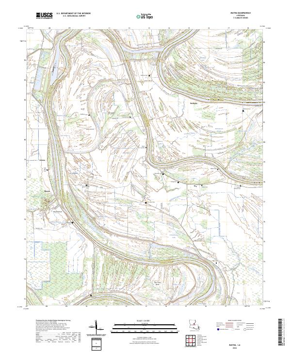
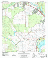
2024 Map of Mayna
USGS Topo · Published 2024About this map
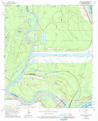
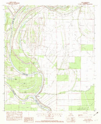
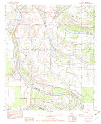
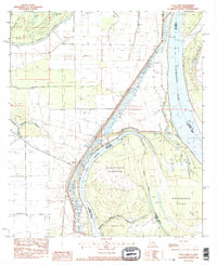
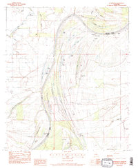
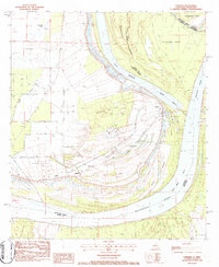
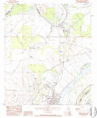
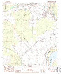
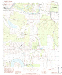
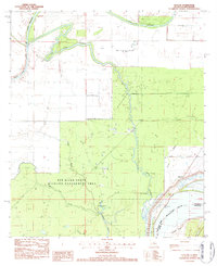
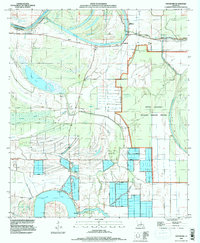
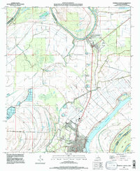
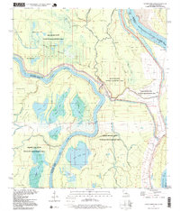
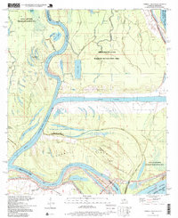
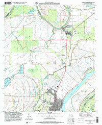
Black River meanders across the border of Concordia and Catahoula Parishes, shaping a landscape defined by oxbow lakes and intricate bayou systems. This low-lying alluvial terrain is heavily marked by the legacy of local families, evidenced by numerous small burial grounds such as Flowery Mound Cem, Pecantly Cem, and Trisler Cem. The settlement pattern follows the higher ground near the river and its old channels, with small communities like Mayna and Parhams connected by a network of parish roads and levees.
Find a feature on this map
84 named features on this map. Tap any name to fly to it.
Don’t see what you’re looking for? This feature index may not catch every label — zoom into the map to look around manually.
Map Details
Editions of this 2024 Mayna Map
This is the sole edition of this map. No revisions or reprints were ever made.
Historical Maps of Mayna Through Time
35 maps found

1909 Sycamore Landing
Concordia Parish, LA

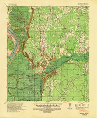
1939 Artonish
Concordia Parish, LA

1939 Deer Park
Concordia Parish, LA
1939 Kingston
Concordia Parish, LA
1939 Red Gum
Concordia Parish, LA

1954 Artonish
Concordia Parish, LA

1955 Artonish
Concordia Parish, LA
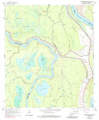
1965 Lower Sunk Lake
Concordia Parish, LA
1965 Turnbull Island
Concordia Parish, LA
1982 Acme
Concordia Parish, LA
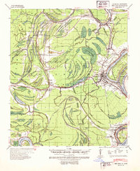
1982 Mayna
Concordia Parish, LA
1983 Deer Park
Concordia Parish, LA
1983 Dunbarton
Concordia Parish, LA
1983 Fairview
Concordia Parish, LA
1983 Ferriday North
Concordia Parish, LA
1983 Ferriday South
Concordia Parish, LA
1983 Frogmore
Concordia Parish, LA
1983 Slocum
Concordia Parish, LA
1994 Frogmore
Concordia Parish, LA
1995 Ferriday North
Concordia Parish, LA
1995 Ferriday South
Concordia Parish, LA
1996 Lower Sunk Lake
Concordia Parish, LA
1996 Turnbull Island
Concordia Parish, LA
1999 Ferriday North
Concordia Parish, LA
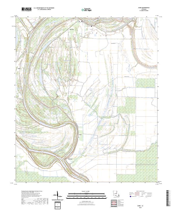
2024 Acme
Concordia Parish, LA
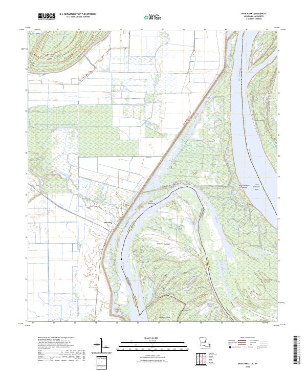
2024 Deer Park
Concordia Parish, LA
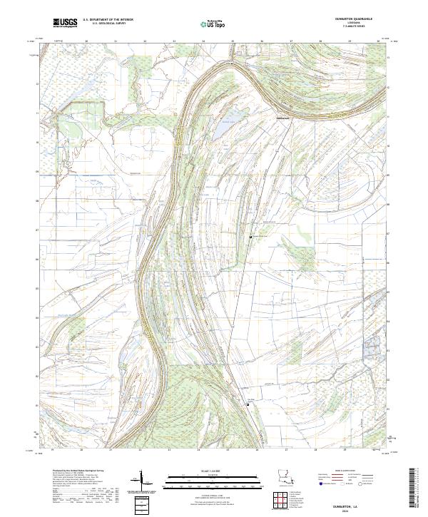
2024 Dunbarton
Concordia Parish, LA
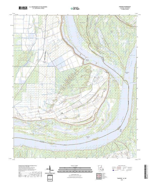
2024 Fairview
Concordia Parish, LA
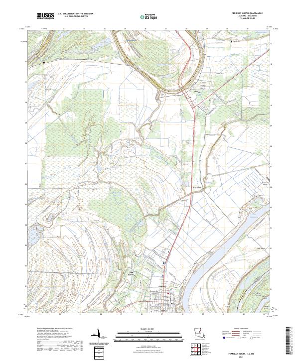
2024 Ferriday North
Concordia Parish, LA
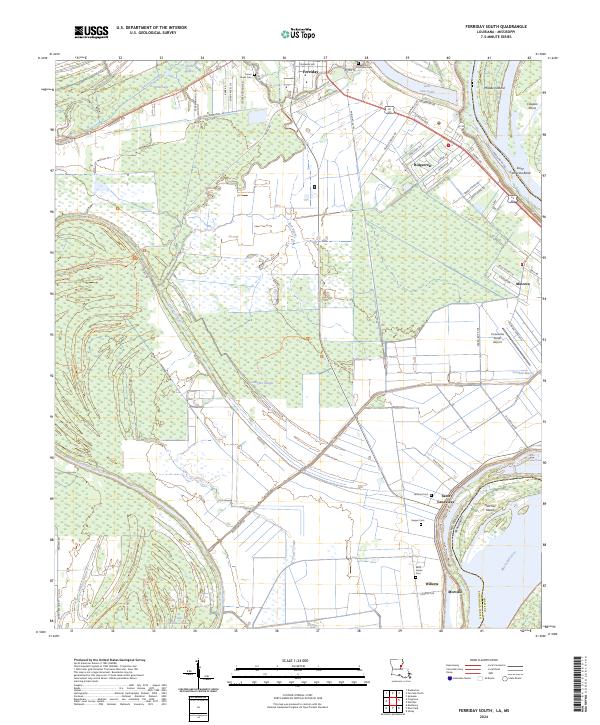
2024 Ferriday South
Concordia Parish, LA
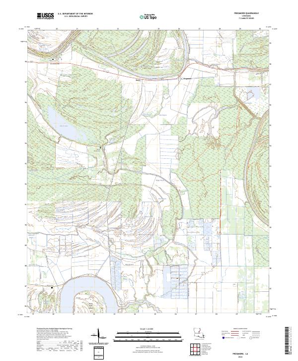
2024 Frogmore
Concordia Parish, LA
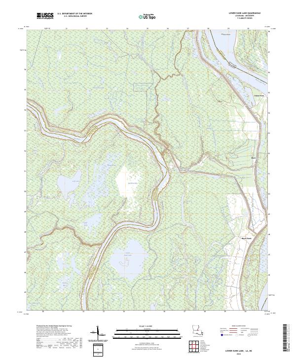
2024 Lower Sunk Lake
Concordia Parish, LA
2024 Mayna
Concordia Parish, LA
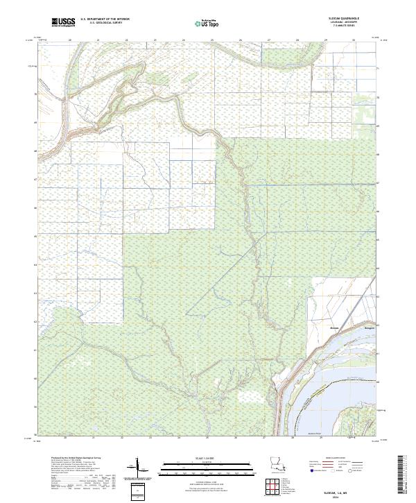
2024 Slocum
Concordia Parish, LA
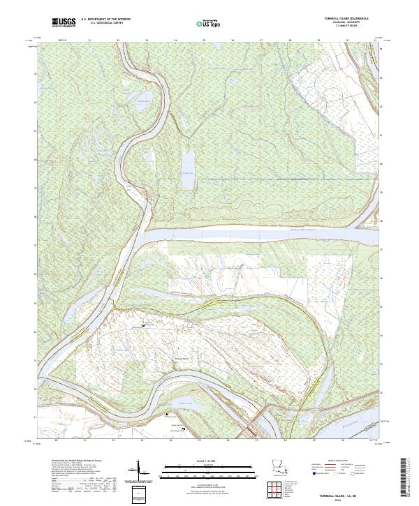
2024 Turnbull Island
Concordia Parish, LA