2024 Map of Maynard
USGS Topo · Published 2024About this map
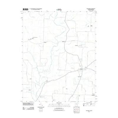
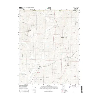
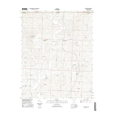
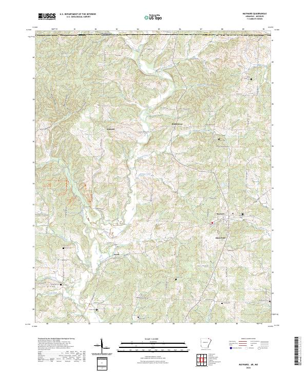
The Fourche River winds through the heart of this Randolph County landscape, shaping the geography of a region defined by its small upland settlements and numerous family cemeteries. The town of Maynard sits as a central hub, flanked by the residential pockets of Elkins Park and the rural clusters at Middlebrook and Brakebill. The map reveals a high density of burial sites that speak to the deep genealogical roots of the area, including Siloam Cem, Maynard Cem, and Harper Cem. South of the river, Jerrett and the high ground of Tyer Ridge overlook a network of winding creeks like Cattle Creek and Tennessee Creek. The northern border marks the state line where Arkansas meets Missouri, a boundary traced by old routes such as Warm Springs Rd and White Trl. This documentation of modern-day Randolph County preserves the exact locations of these historic landmarks before further land-use changes occur.
Find a feature on this map
87 named features on this map. Tap any name to fly to it.
Don’t see what you’re looking for? This feature index may not catch every label — zoom into the map to look around manually.
Map Details
Editions of this 2024 Maynard Map
This is the sole edition of this map. No revisions or reprints were ever made.
Historical Maps of Maynard Through Time
6 maps found