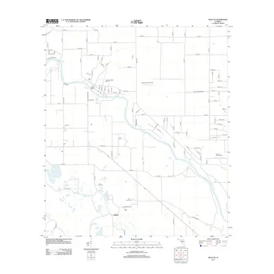
2012 Map of Mayo SE
USGS Topo · Published 2012About this map
The Suwannee River meanders through this portion of Lafayette County, Florida, defining a landscape of natural springs and dispersed agricultural operations. Early 21st-century rural life is evidenced by dairy farms like Land Dairy and Jackson Dairy, alongside a series of small private landing strips such as Suwannee Belle Airport. The karst topography of the region is clearly visible through the numerous artesian features punctuating the riverbanks, including Royal Springs, Convict Spring, and Owens Spring.
Find a feature on this map
61 named features on this map. Tap any name to fly to it.
Don’t see what you’re looking for? This feature index may not catch every label — zoom into the map to look around manually.
Map Details
Editions of this 2012 Mayo SE Map
This is the sole edition of this map. No revisions or reprints were ever made.
Other maps of this area

1954 · Mallory Swamp NW
USGS Topo · 1:24,000

1954 · Dowling Park
USGS Topo · 1:24,000

1954 · Mallory Swamp NE
USGS Topo · 1:24,000

1954 · Gainesville
USGS Topo · 1:250,000

1954 · Valdosta
USGS Topo · 1:250,000

1955 · Mayo NE
USGS Topo · 1:24,000

1955 · Mayo
USGS Topo · 1:24,000

1955 · Mayo SE
USGS Topo · 1:24,000
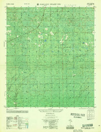
1956 · Mallory Swamp NW
USGS Topo · 1:25,000

1958 · Valdosta
USGS Topo · 1:250,000