
1955 Map of Mayo SE
USGS Topo · Published 1956About this map
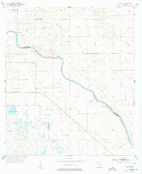
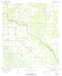
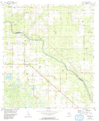
The Suwannee River carves a winding path through this North Florida landscape, marking the natural boundary between Suwannee and Lafayette counties. Along its banks, numerous natural springs including Running Springs, Convict Spring, Owens Spring, and Mearson Spring dot the shoreline, highlighting the unique karst topography of the region. The interior is characterized by scattered rural communities like Whitfield and Midway, supported by a network of local institutions such as Pine Grove Ch, Airline Ch, and the Lady Land Sch. Transport history is visible in the Old Railroad Grade that cuts across the northern section, while numerous ponds and lakes like Townsend Pond and Sears Lake define the southern terrain. This mid-century survey reveals a settlement pattern centered on high ground between the river and the marshy lowlands of Tenmile Hollow.
Find a feature on this map
22 named features on this map. Tap any name to fly to it.
Don’t see what you’re looking for? This feature index may not catch every label — zoom into the map to look around manually.
Map Details
Editions of this 1955 Mayo SE Map
4 editions found
Other maps of this area

1954 · Mallory Swamp NW
USGS Topo · 1:24,000

1954 · Dowling Park
USGS Topo · 1:24,000

1954 · Mallory Swamp NE
USGS Topo · 1:24,000

1954 · Gainesville
USGS Topo · 1:250,000

1954 · Valdosta
USGS Topo · 1:250,000

1955 · Mayo NE
USGS Topo · 1:24,000

1955 · Mayo
USGS Topo · 1:24,000
1956 · Mallory Swamp NW
USGS Topo · 1:25,000

1958 · Valdosta
USGS Topo · 1:250,000

1958 · Gainesville
USGS Topo · 1:250,000