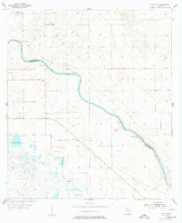
1955 Map of Mayo SE
USGS Topo · Published 1977About this map
The Suwannee River carves a deep arc through the Florida landscape, serving as the physical boundary between Suwannee Co and Lafayette Co. In the mid-1950s, this area remained largely defined by its natural hydrology and rural institutions. Significant groundwater activity is evident along the riverbanks, where several named sources such as Running Springs, Convict Spring, and Mearson Spring emerge.
Find a feature on this map
22 named features on this map. Tap any name to fly to it.
Don’t see what you’re looking for? This feature index may not catch every label — zoom into the map to look around manually.
Map Details
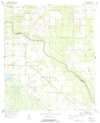
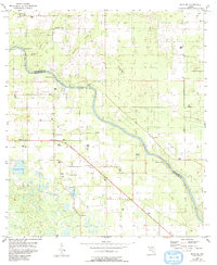
Editions of this 1955 Mayo SE Map
4 editions found
Other maps of this area

1954 · Mallory Swamp NW
USGS Topo · 1:24,000

1954 · Dowling Park
USGS Topo · 1:24,000

1954 · Mallory Swamp NE
USGS Topo · 1:24,000

1954 · Gainesville
USGS Topo · 1:250,000

1954 · Valdosta
USGS Topo · 1:250,000

1955 · Mayo NE
USGS Topo · 1:24,000

1955 · Mayo
USGS Topo · 1:24,000

1955 · Mayo SE
USGS Topo · 1:24,000
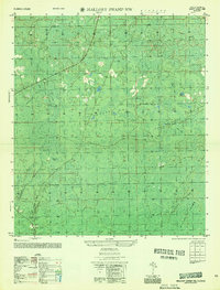
1956 · Mallory Swamp NW
USGS Topo · 1:25,000

1958 · Valdosta
USGS Topo · 1:250,000