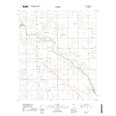
2018 Map of Mayo SE
USGS Topo · Published 2018About this map
The Suwannee River carves a winding path through this North Florida landscape, marking the boundary between Suwannee Co and Lafayette Co. The river's karst geography is evident in the numerous springs that dot the banks, including Convict Spring, Royal Springs, Owens Spring, and Mearson Spring. Settlement is concentrated in small pockets like Midway, while the presence of the Suwannee Belle Airport and Suwannee Farms Airport suggests a reliance on light aviation in this rural region.
Find a feature on this map
125 named features on this map. Tap any name to fly to it.
Don’t see what you’re looking for? This feature index may not catch every label — zoom into the map to look around manually.
Map Details
Editions of this 2018 Mayo SE Map
This is the sole edition of this map. No revisions or reprints were ever made.
Other maps of this area

1954 · Mallory Swamp NW
USGS Topo · 1:24,000

1954 · Dowling Park
USGS Topo · 1:24,000

1954 · Mallory Swamp NE
USGS Topo · 1:24,000

1954 · Gainesville
USGS Topo · 1:250,000

1954 · Valdosta
USGS Topo · 1:250,000

1955 · Mayo NE
USGS Topo · 1:24,000

1955 · Mayo
USGS Topo · 1:24,000

1955 · Mayo SE
USGS Topo · 1:24,000
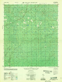
1956 · Mallory Swamp NW
USGS Topo · 1:25,000

1958 · Valdosta
USGS Topo · 1:250,000